|
|
|
|
|
|
|
|
|
|
|
|
|
Project developed at the ENS Paris-Saclay, Centre Borelli and accepted at the CVPR EarthVision Workshop 2023. |
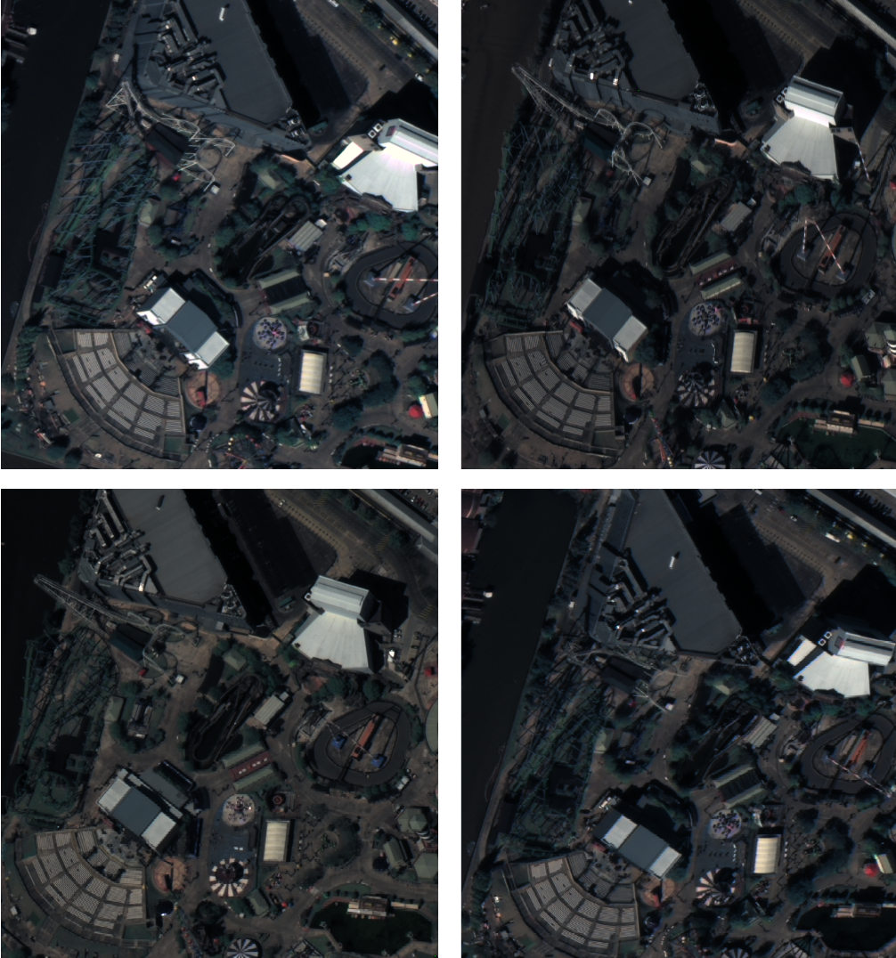
| We introduce EO-NeRF, the Earth Observation NeRF. This method can be used for digital surface modeling and novel view synthesis using collections of multi-date remote sensing images. In contrast to previous variants of NeRF for satellite imagery, EO-NeRF outperforms the altitude accuracy of advanced pipelines for 3D reconstruction from multiple satellite images, including classic and learned stereo-based methods. This is largely due to a rendering of building shadows strictly consistent with the geometry of the scene and independent from other transient phenomena. A number of strategies are additionally presented with the aim to exploit satellite imagery out of the box, without requiring usual pre-processing steps such as a relative radiometric normalization of the input images or a bundle adjustment of the associated camera models. We evaluate our method on different areas of interest using sets of 10-20 true color and pansharpened WorldView-3 images. |

|
|
|

|
|
|

|
|
|
|
|
|
|
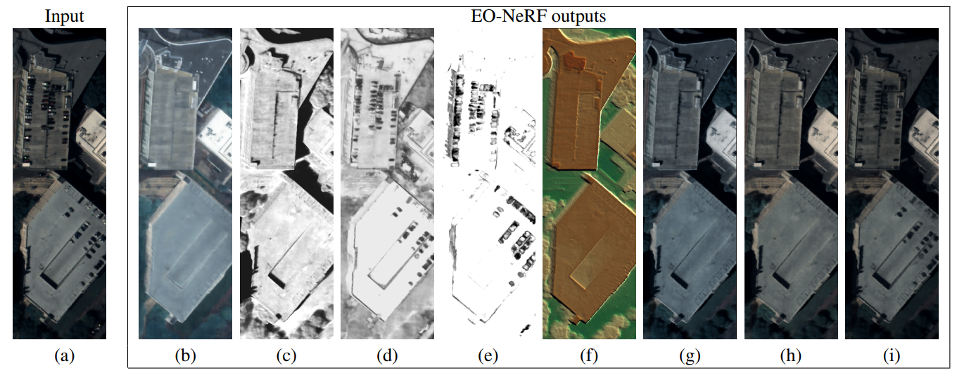
| EO-NeRF computes geometrically consistent shadows by projecting auxiliary rays from the surface boundary towards the position of the sun. This strategy provides hints to refine the geometry, which in turn refines the rendered shadows. |
|
| Left to right: (a) Input image, (b) albedo, (c) geometric shadows, (d) transient phenomena, (e) uncertainty coefficient, (f) altitude (g) albedo with geometric shadows irradiance, (h) albedo with geometric shadows irradiance after affine transformation, (i) albedo with geometric shadows and transient phenomena irradiance after affine transformation. |

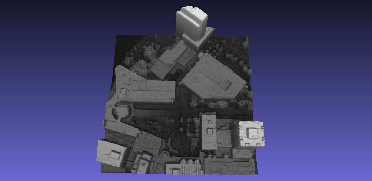
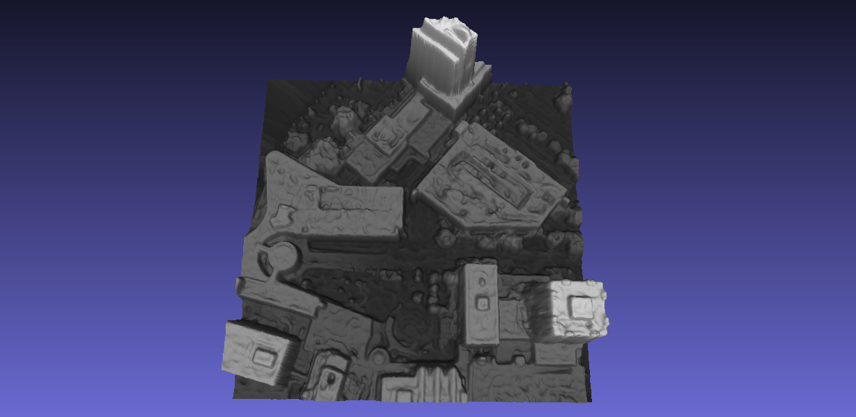
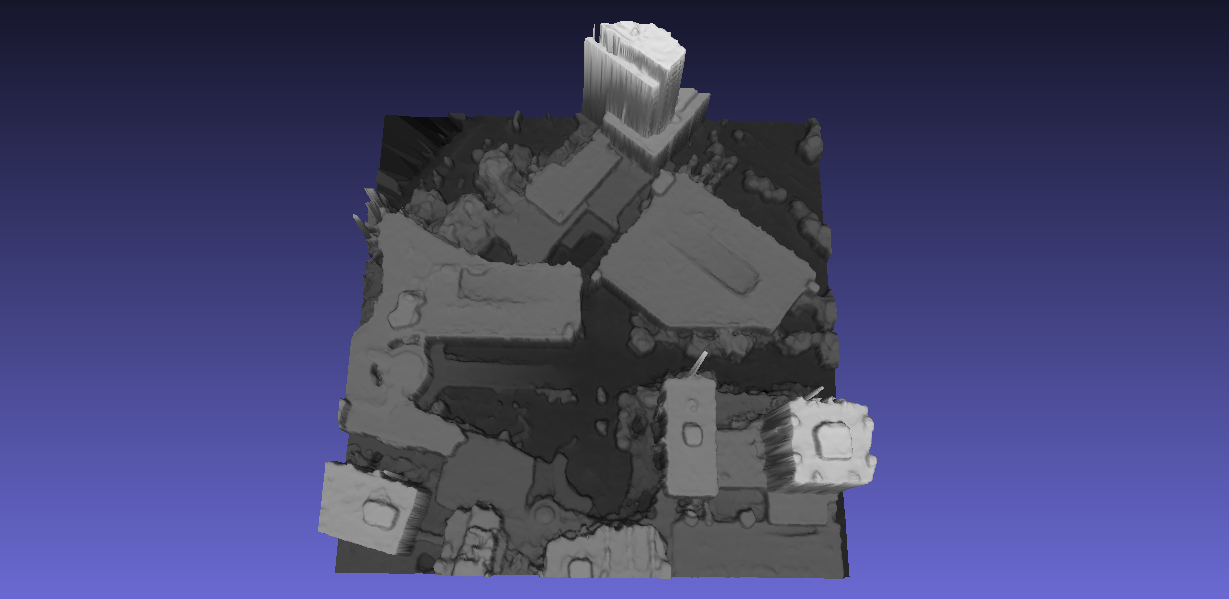
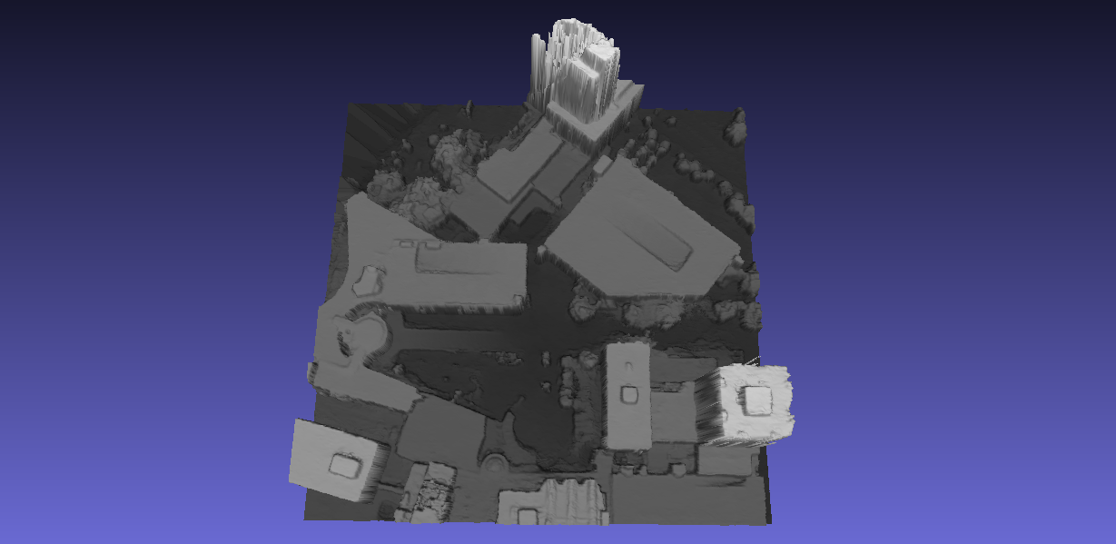
| Check the auxiliary viewer to easily compare only two methods at a time. |
 |
R. Marí, G. Facciolo, T. Ehret. Multi-Date Earth Observation NeRF: The Detail Is in the Shadows. In CVPR Workshops, 2023. (camera ready) |
Acknowledgements |