To Bundle Adjust or Not: A Comparison of Relative Geolocation Correction Strategies for Satellite Multi-View Stereo
- Roger Marí
- Carlo de Franchis
- Enric Meinhardt-Llopis
- Gabriele Facciolo
Abstract
The generation of up-to-date accurate 3D models from multi-view satellite images has recently become a hot research topic. A well-known challenge of this problem is to put all cameras into a common frame of reference, since depending on the satellite geopositioning equipment the camera parameters may contain errors of up to tens of meters on the ground. This work aims to investigate different relative geolocation correction techniques and their impact on 3D reconstruction from satellite imagery. We experiment with 3 multi-view stereo pipelines for 3D reconstruction from multi-date satellite images. Two of the reviewed pipelines use a bundle adjustment procedure, each optimizing a different set of parameters to correct the RPCs: 2D translations in the image domain (bundle block adjustment) or the 3D rotation of the satellite cameras. Oppositely, the third approach omits any kind of prior bundle adjustment and is based on the alignment of independent models based on geometry correlation. To perform a fair comparison, the different blocks of the MVS pipelines are all common apart from the relative geolocation correction method that is applied in each case.
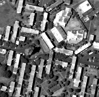
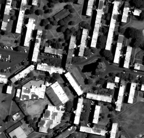
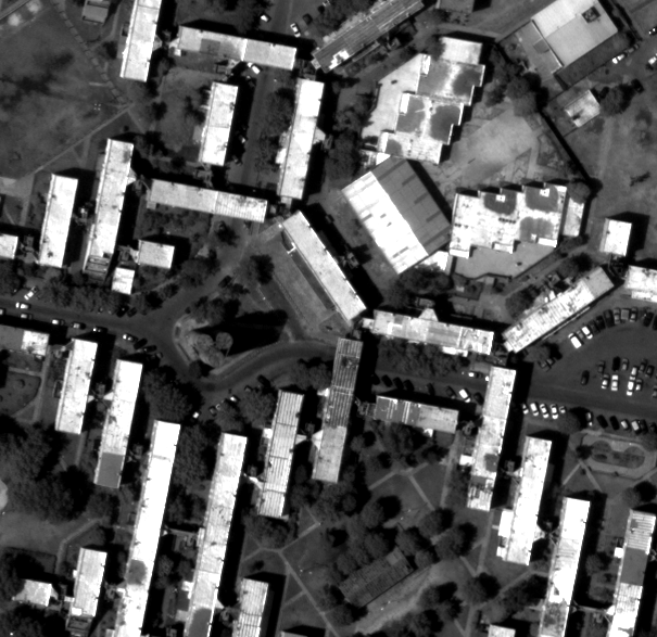
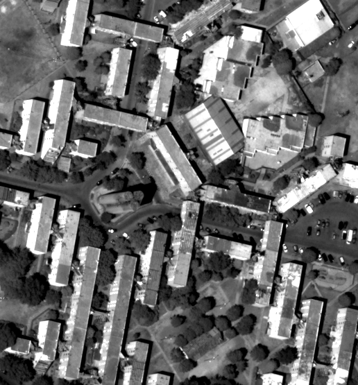
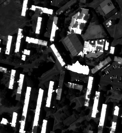
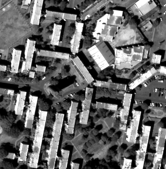
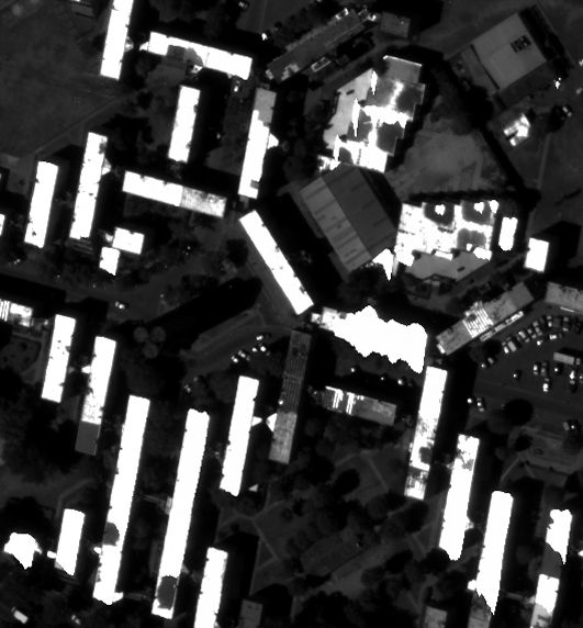
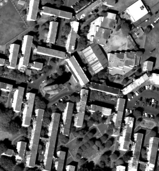
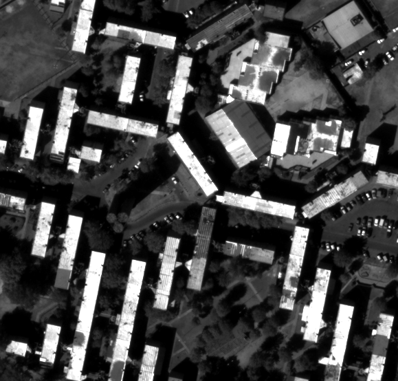
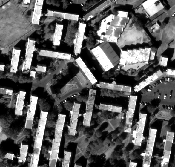
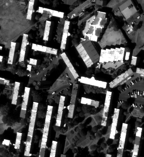
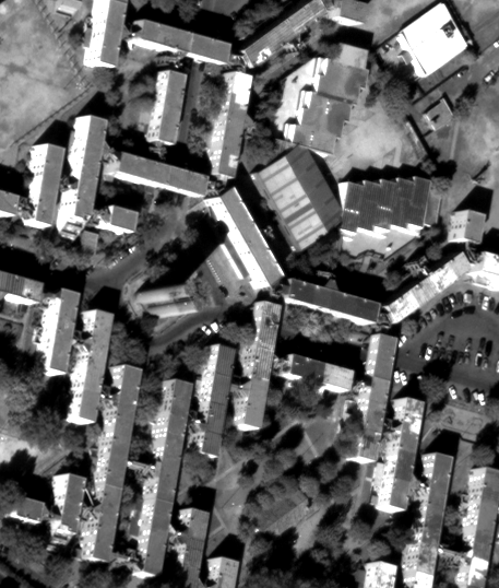
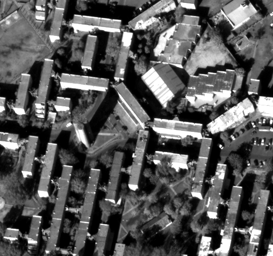
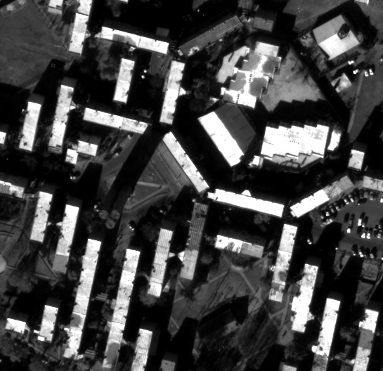
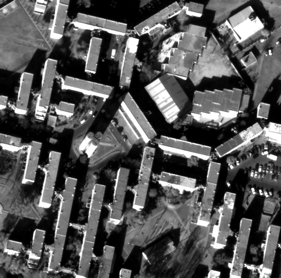
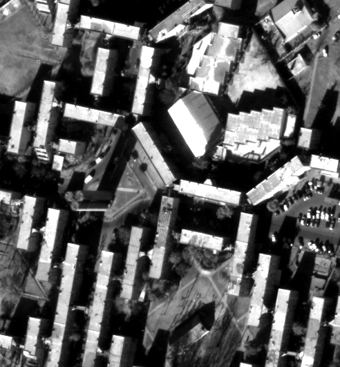
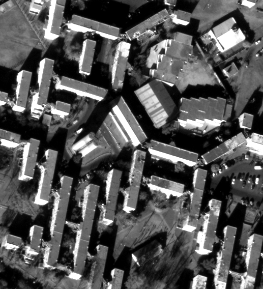
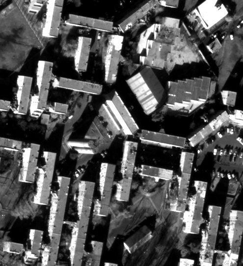
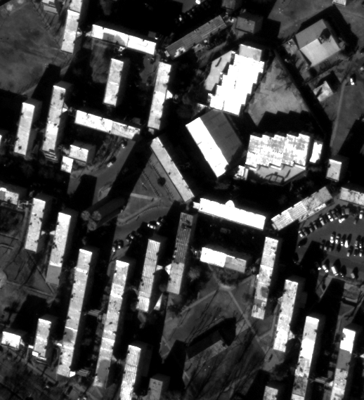
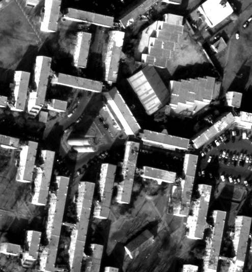
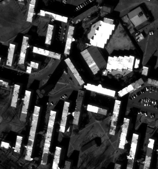
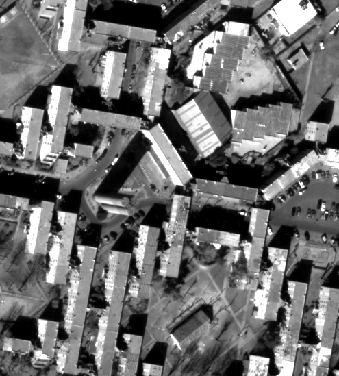
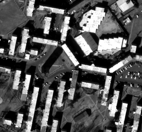
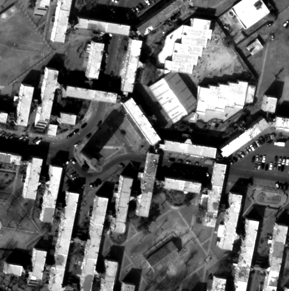
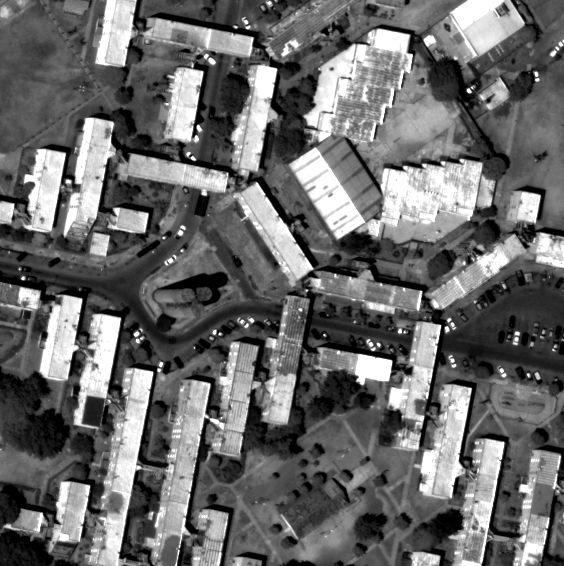
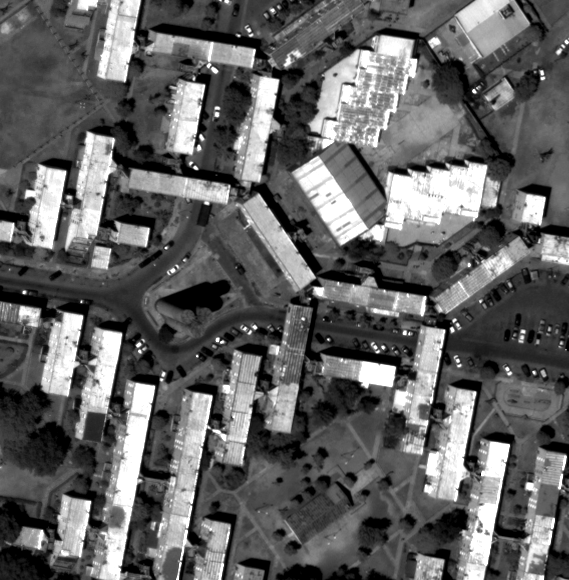
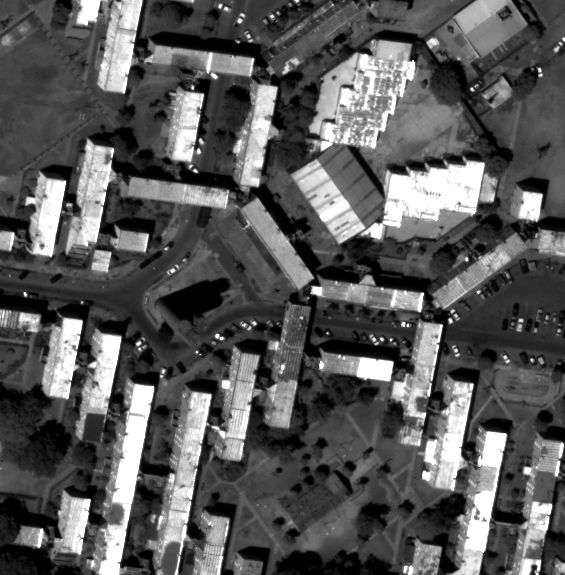
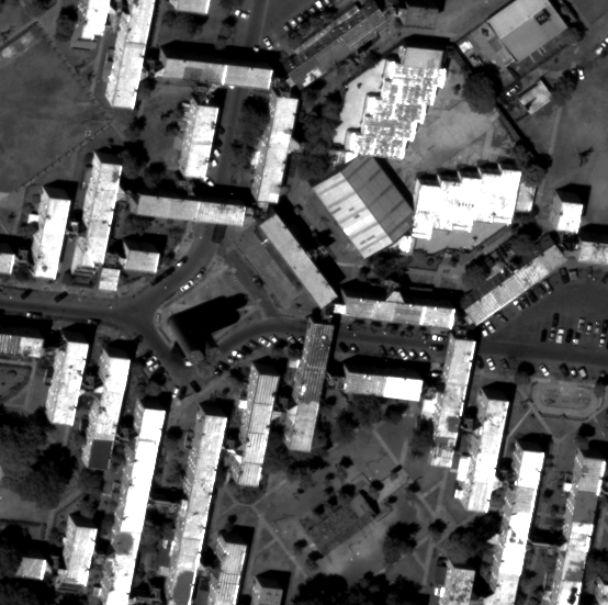
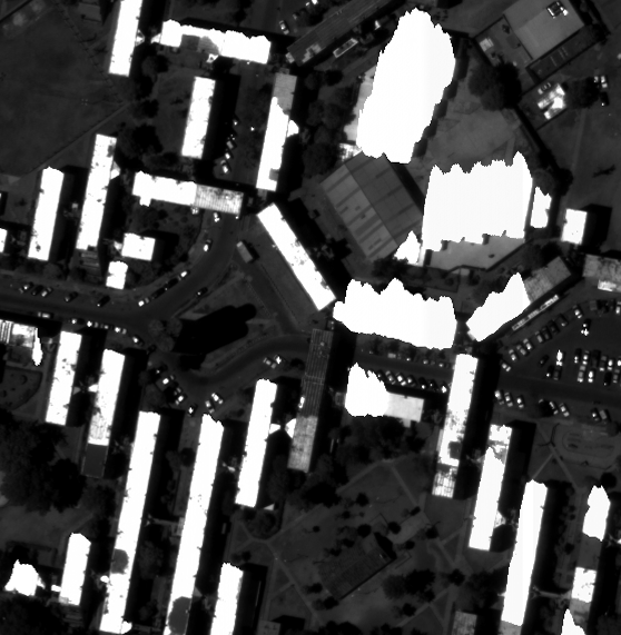
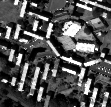
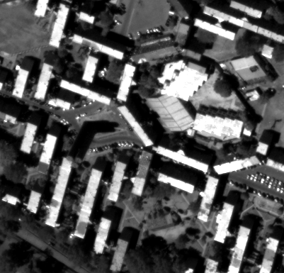
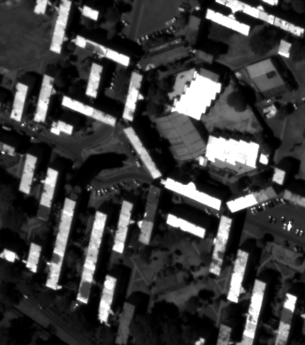
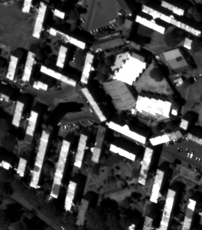
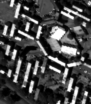
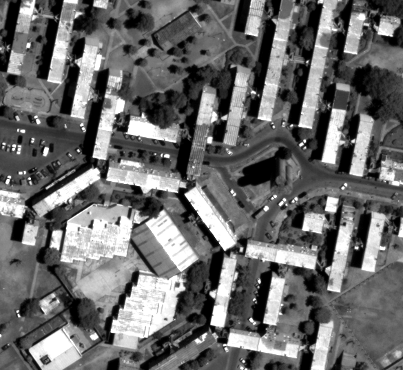
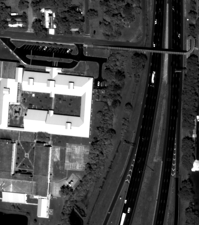
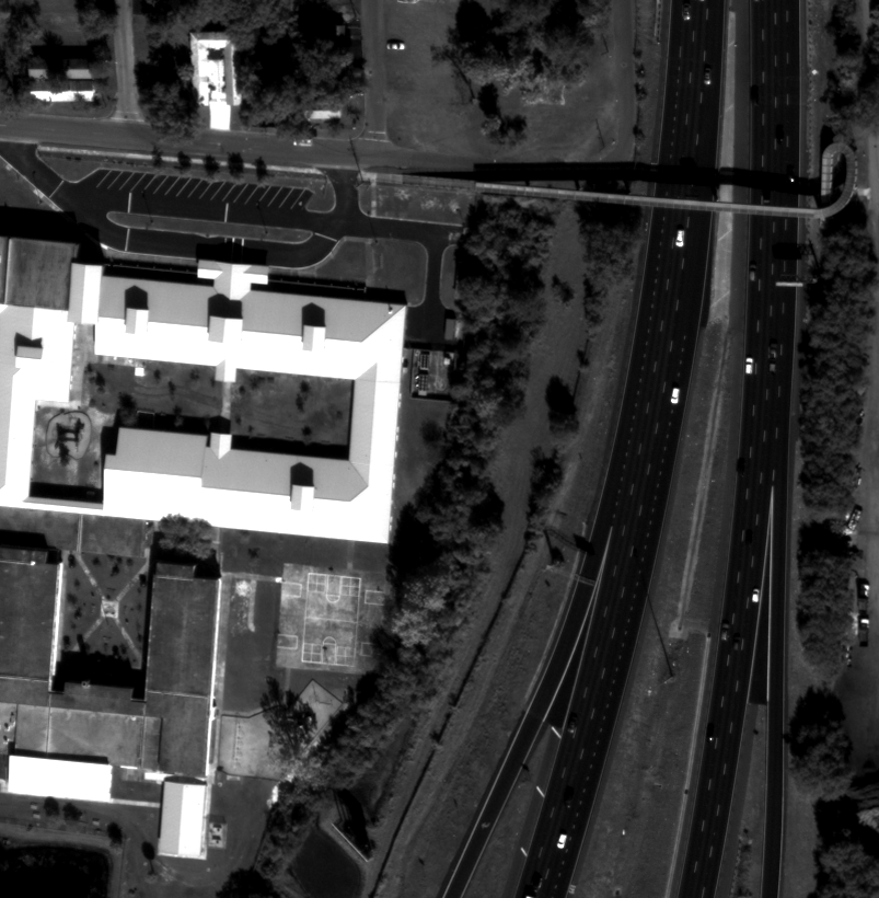
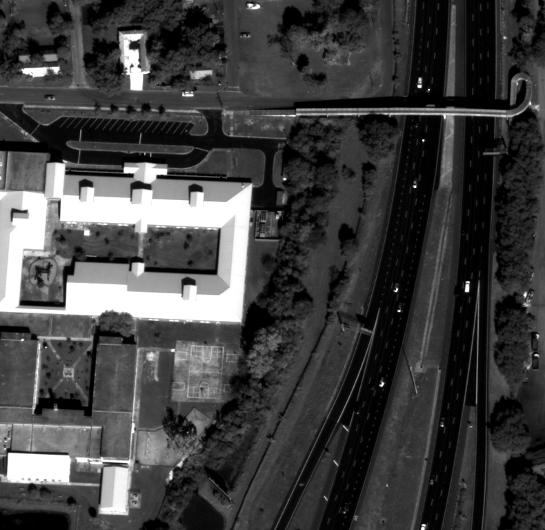
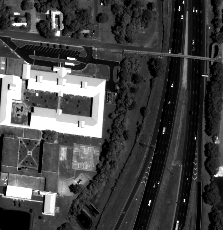
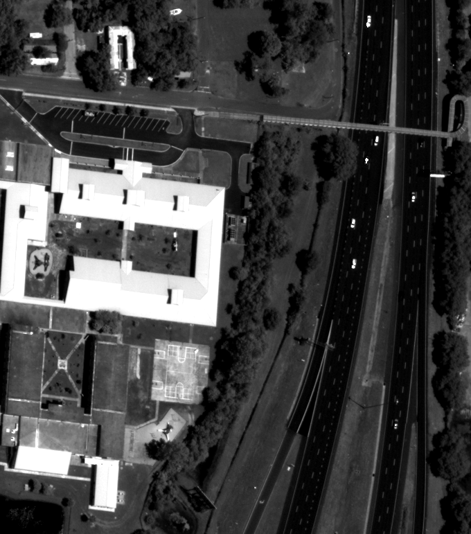
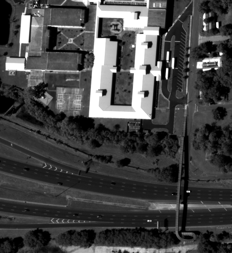
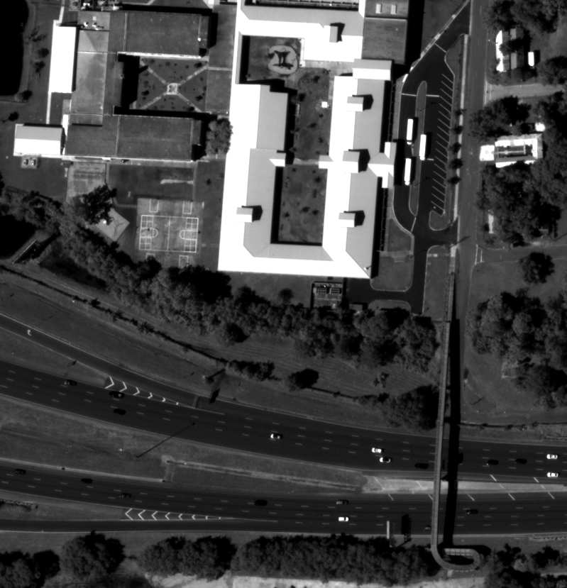
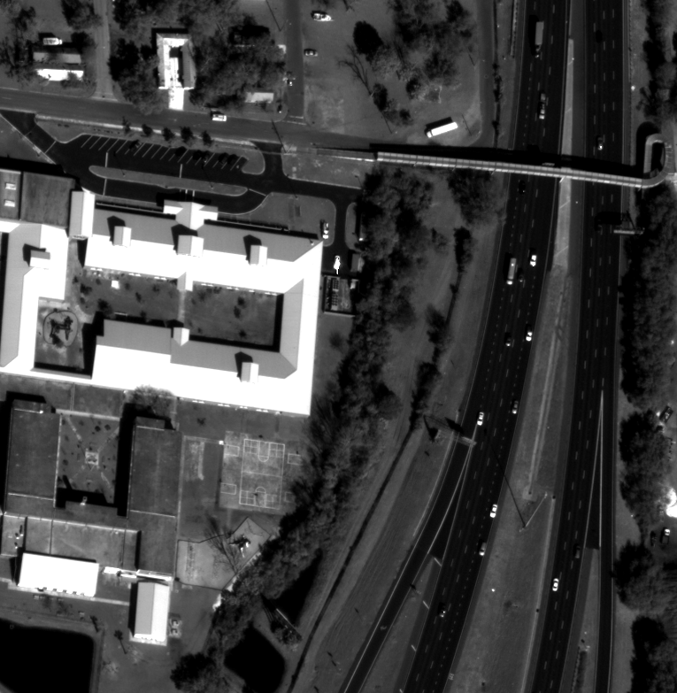
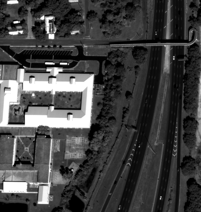
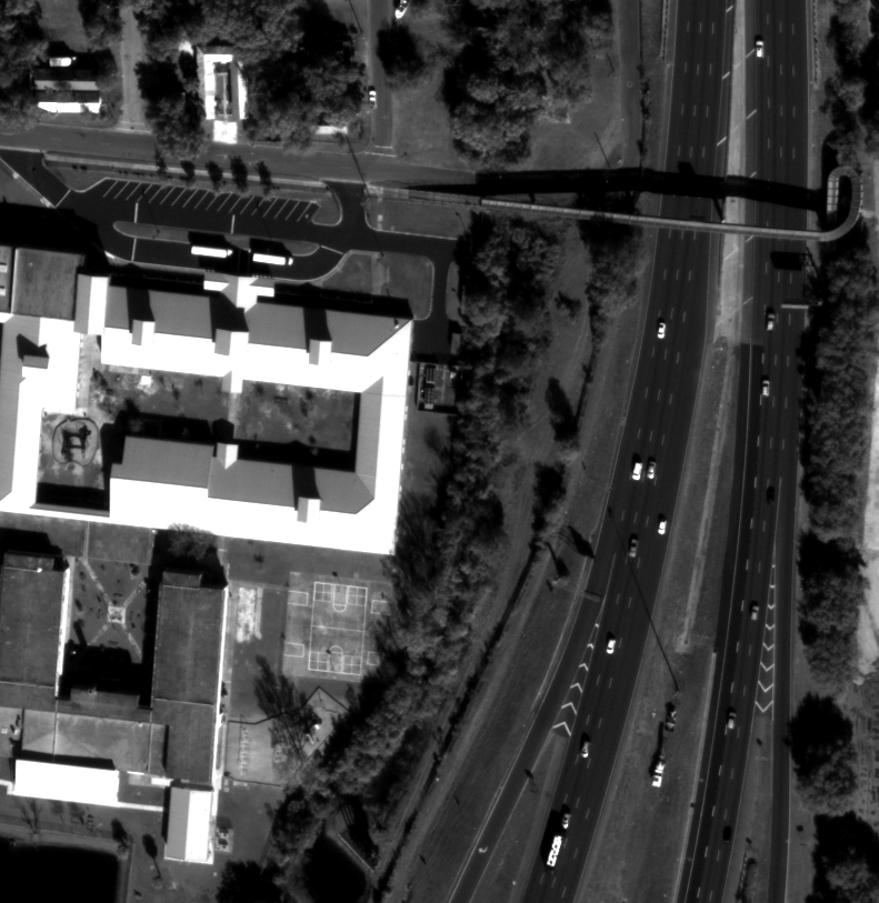
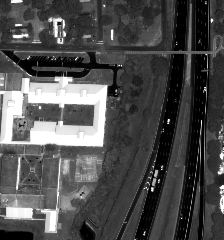
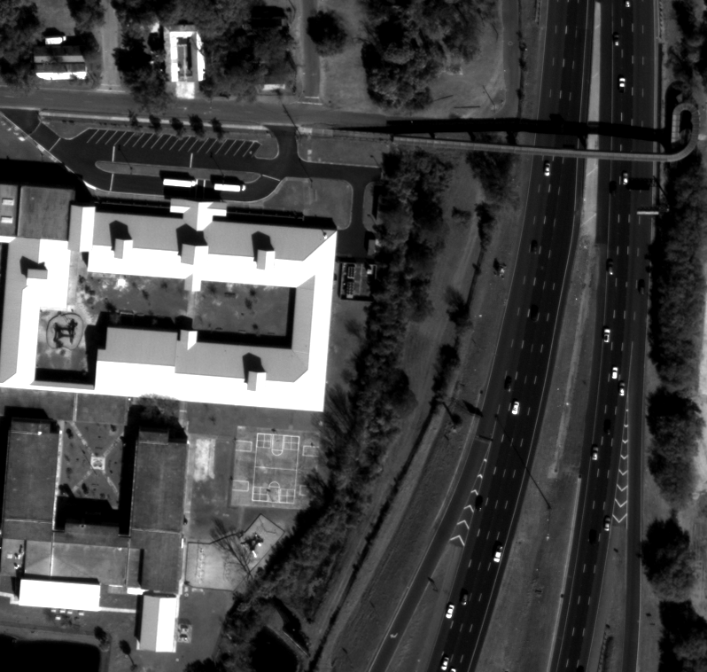
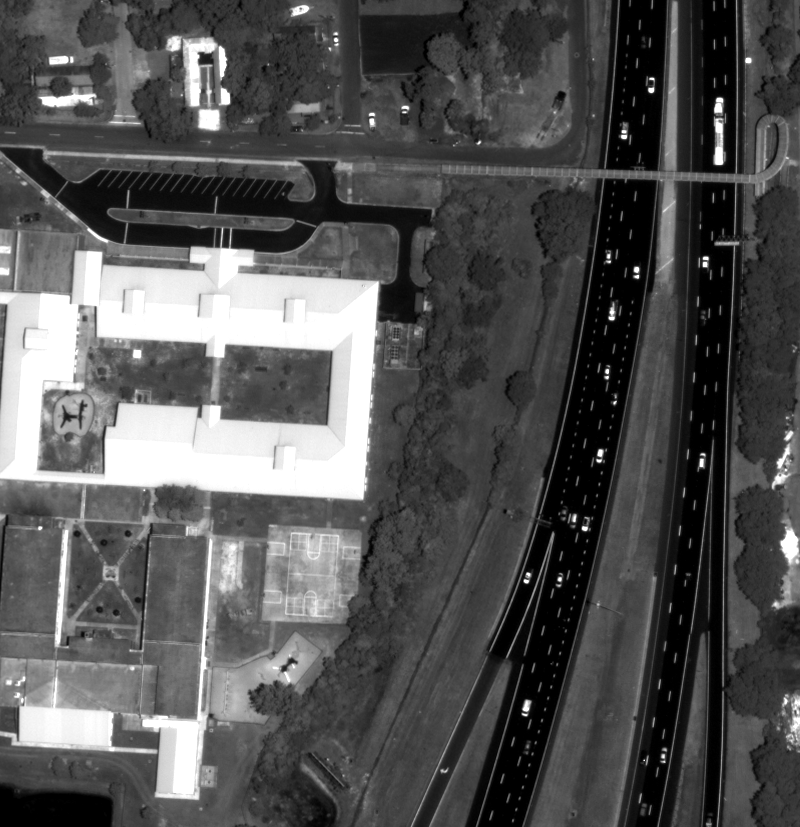
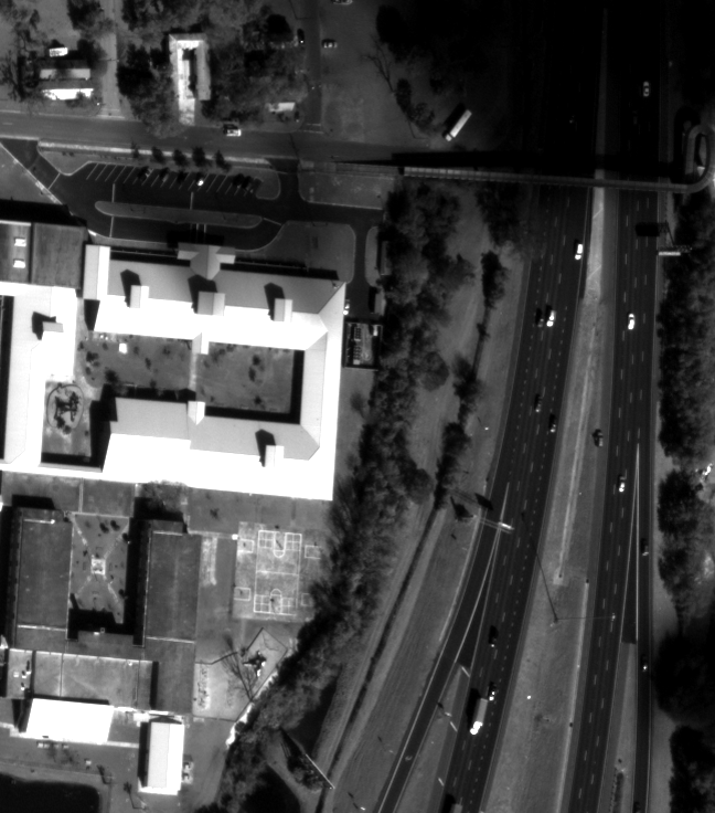
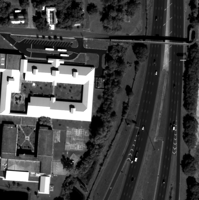
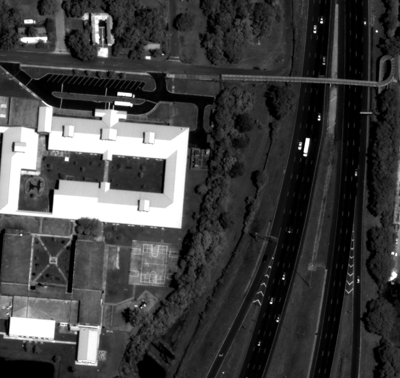
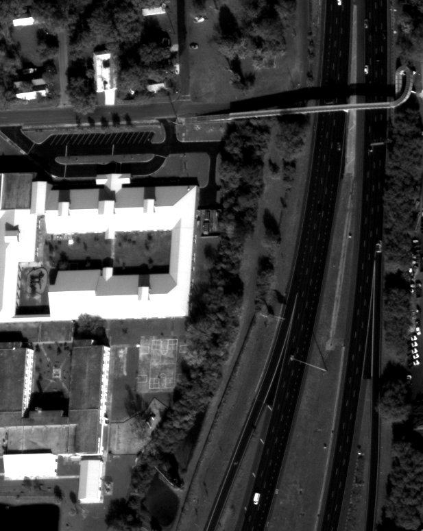
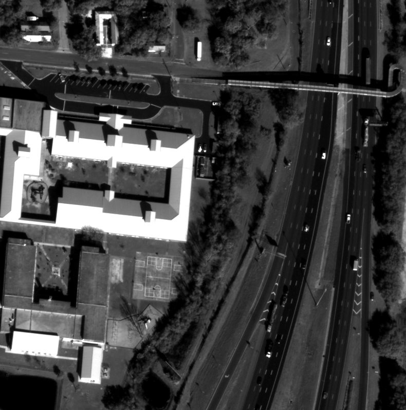
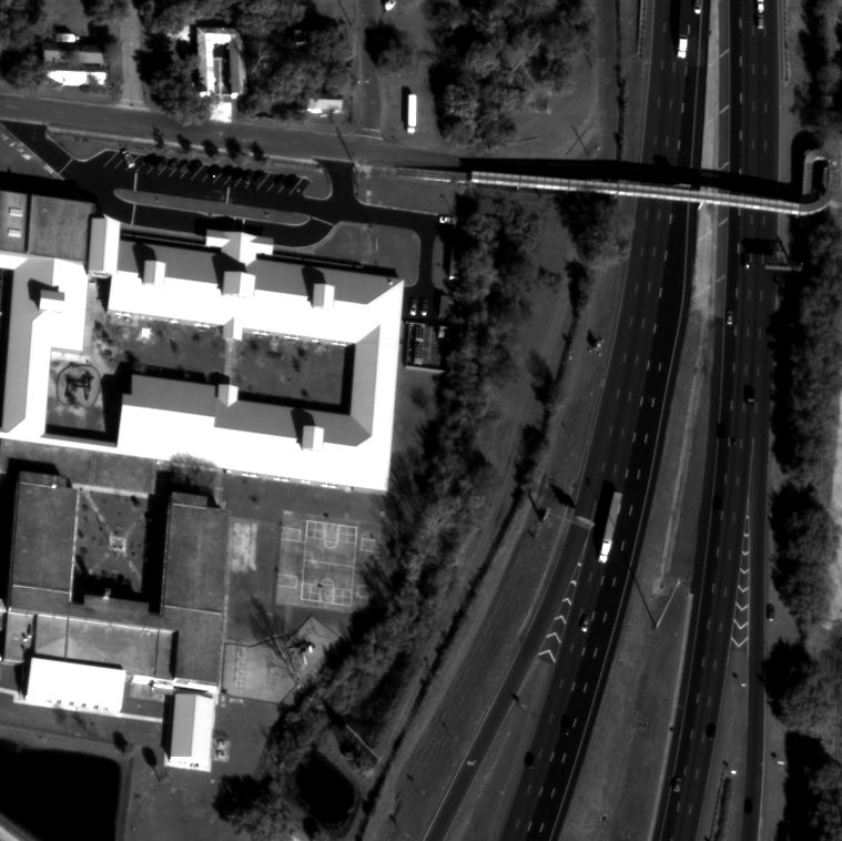
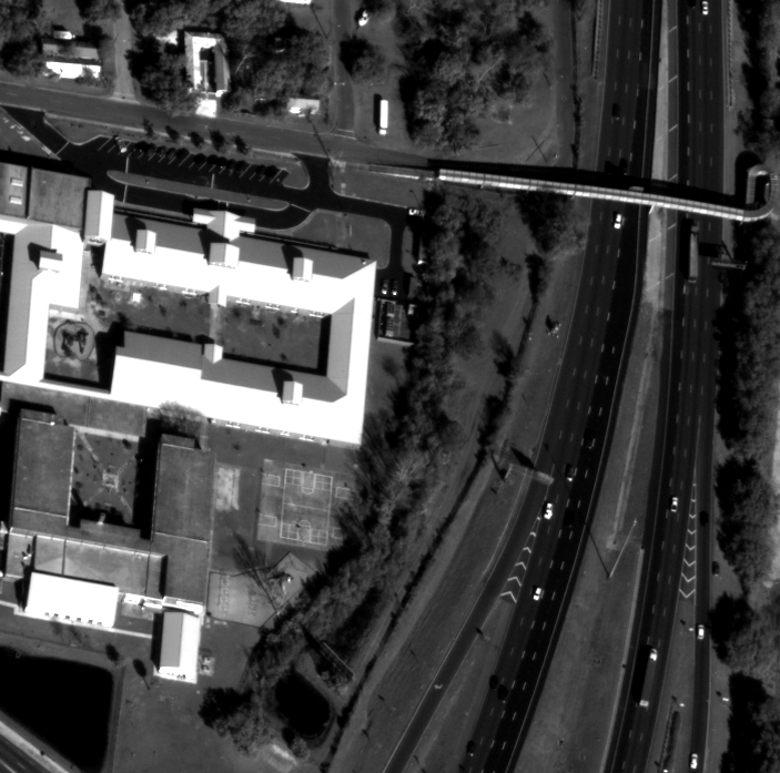
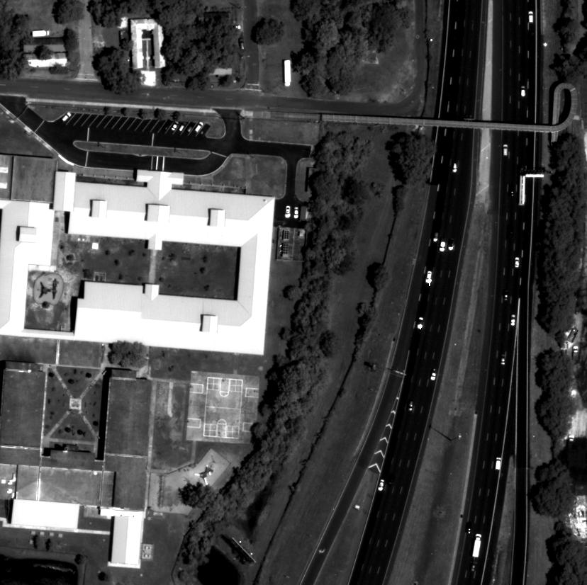
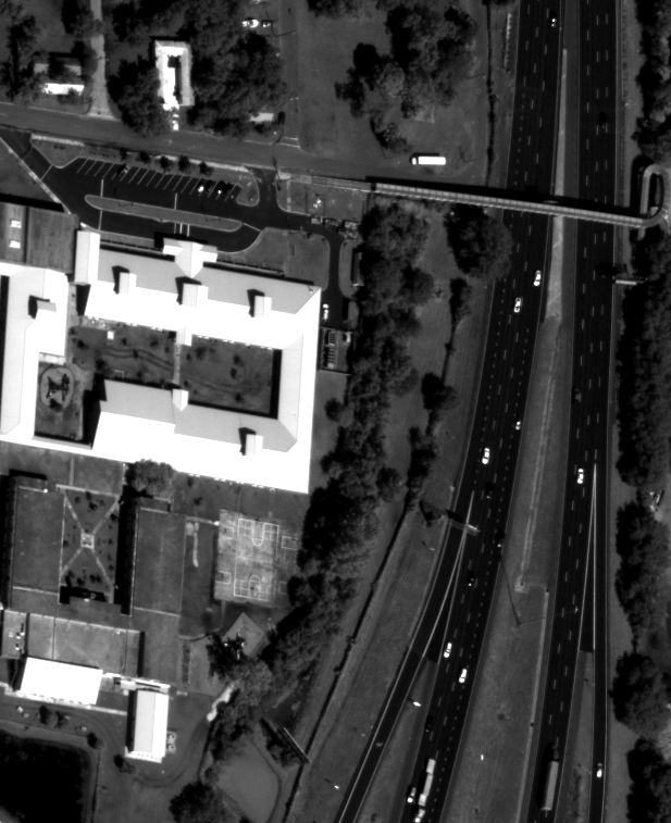
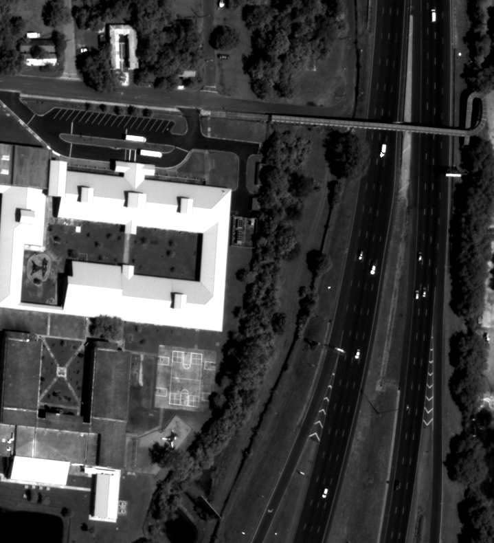
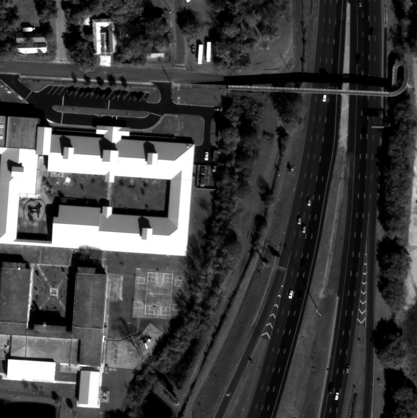
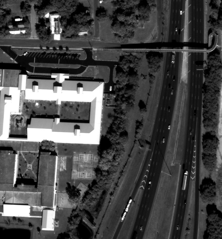
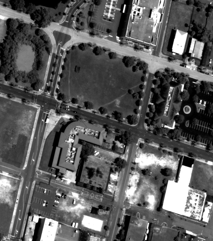
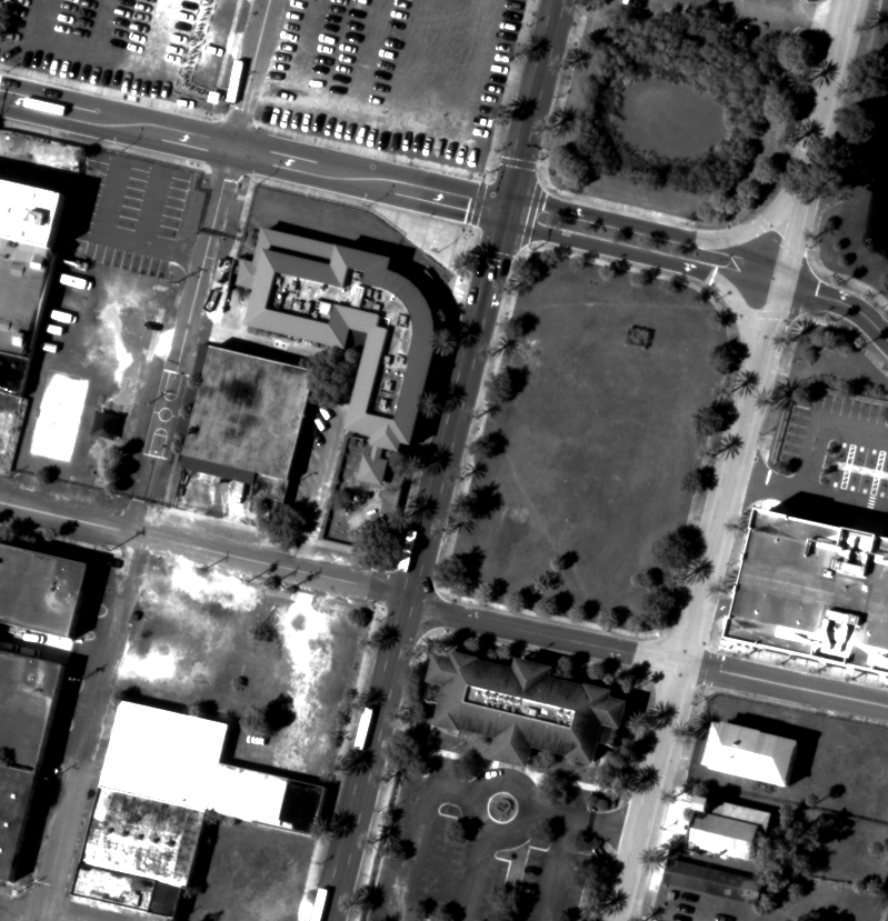
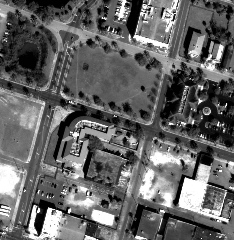
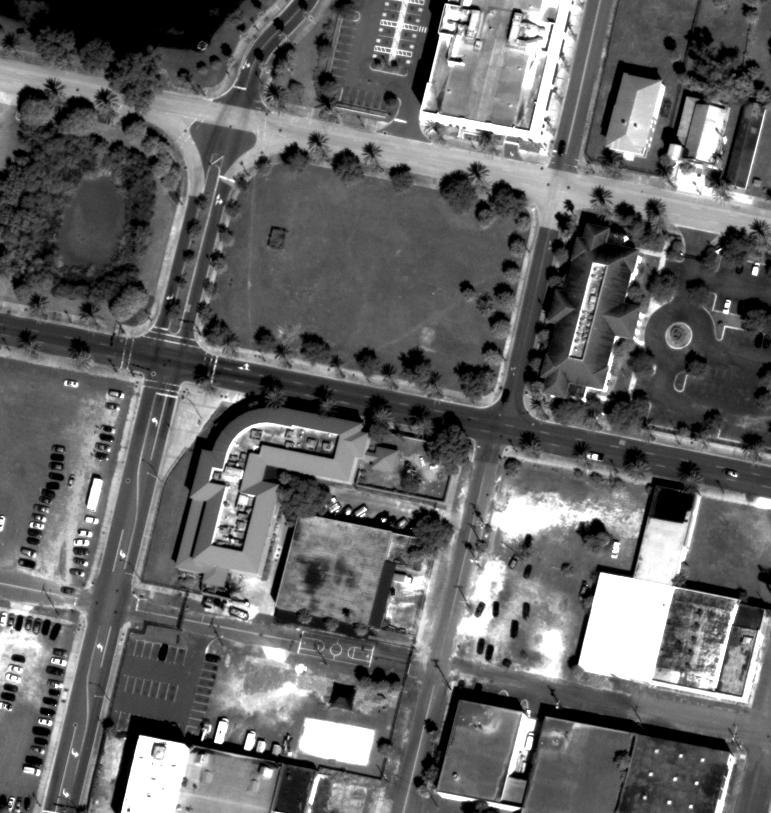
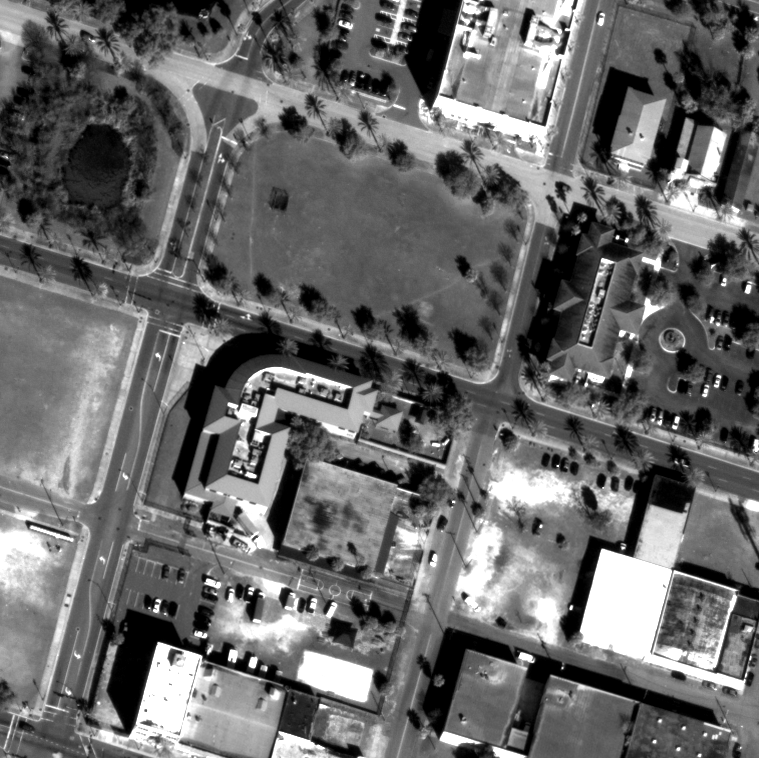
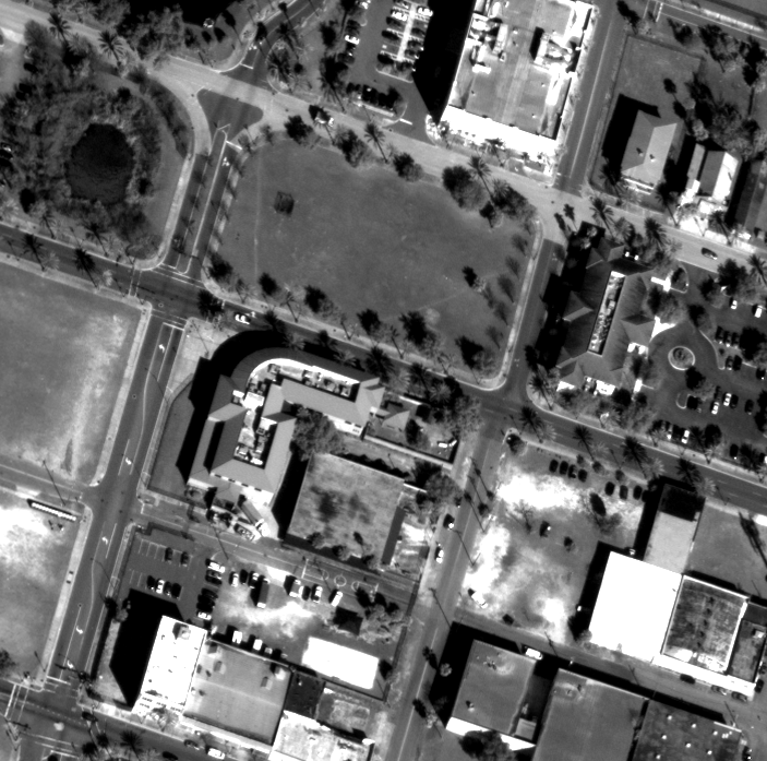
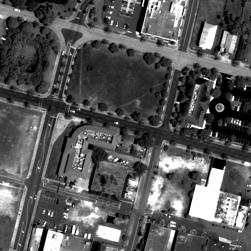
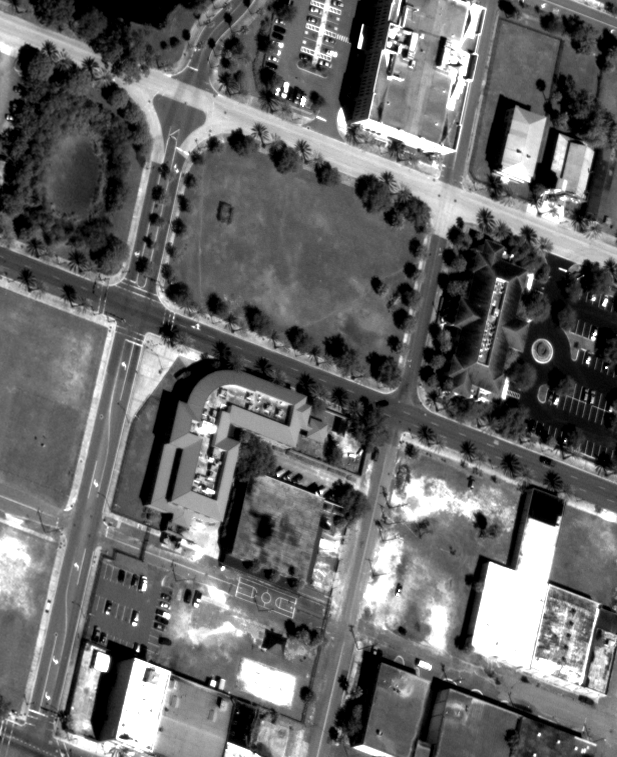
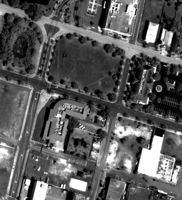
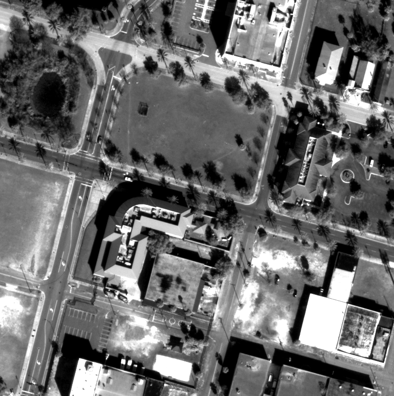
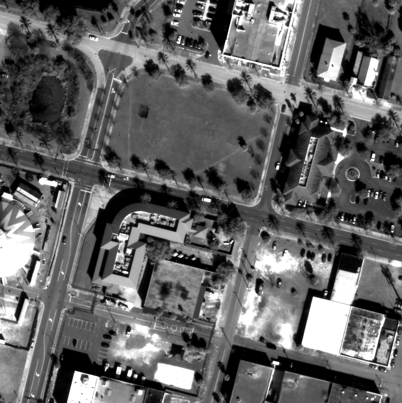
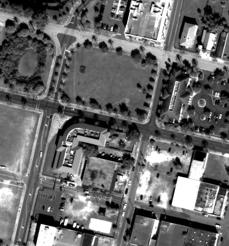
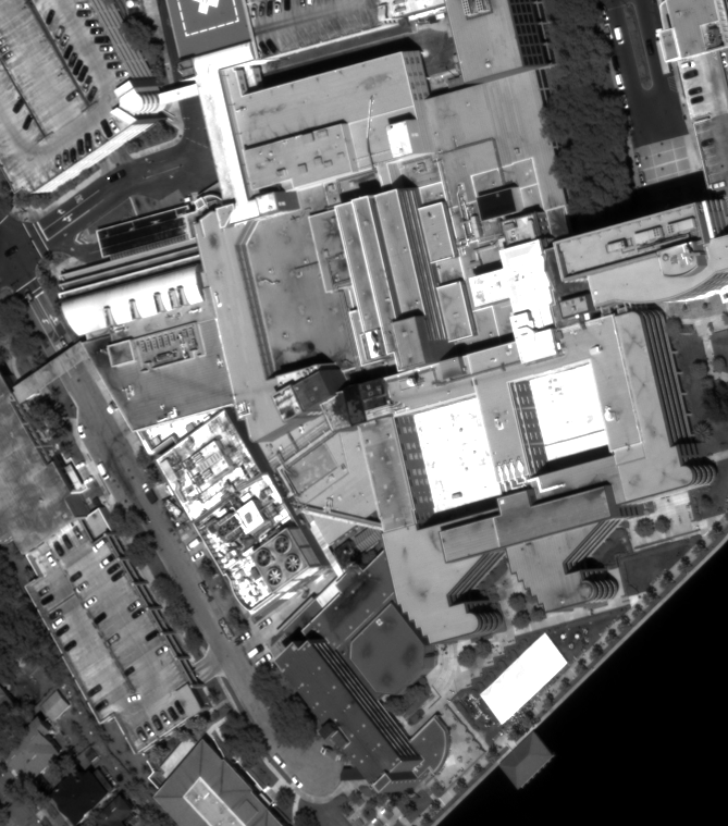
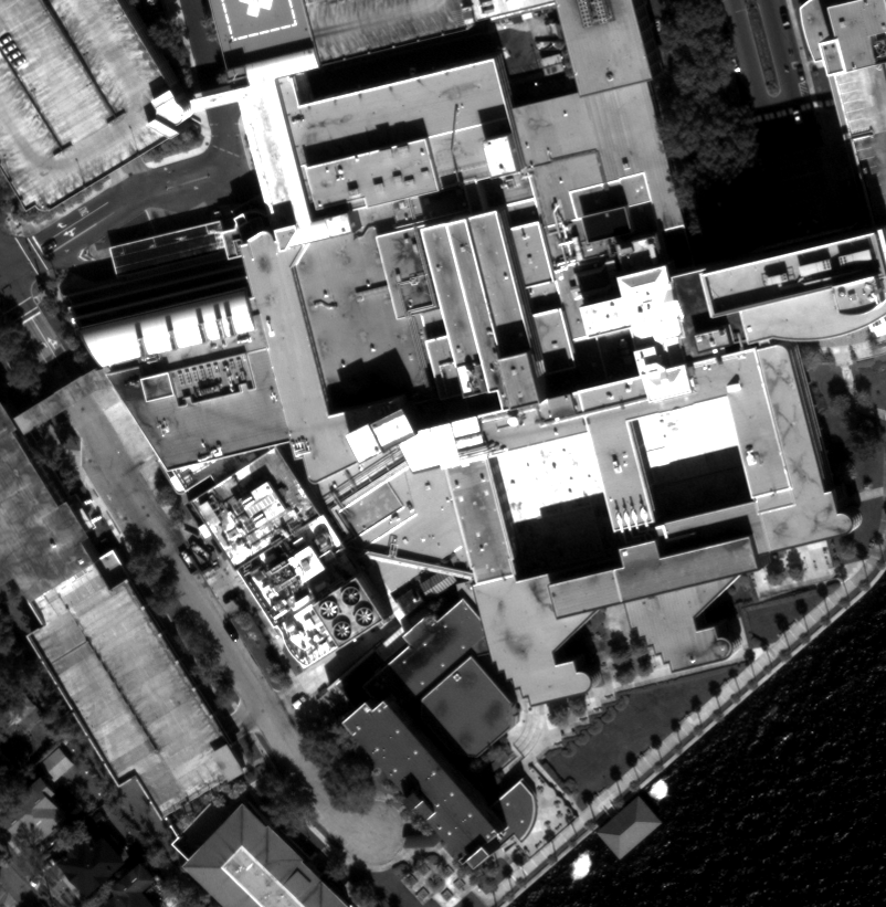
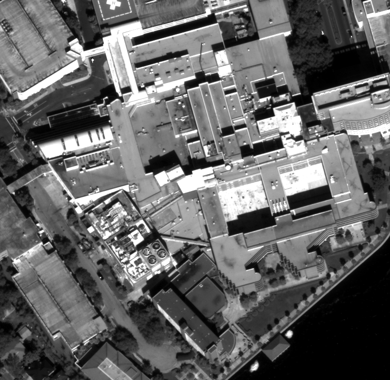
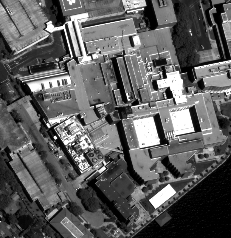
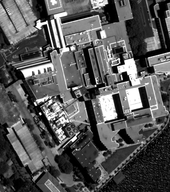
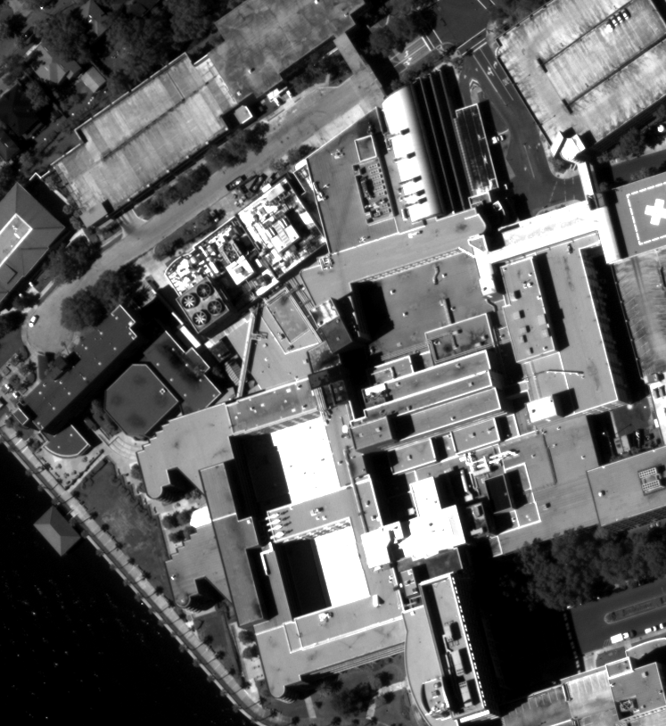
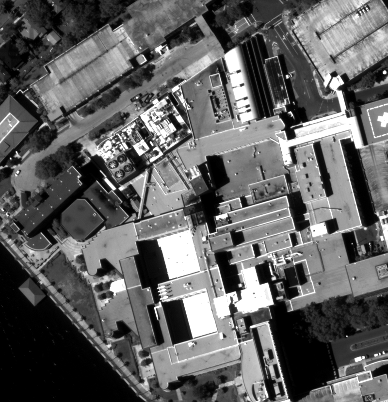
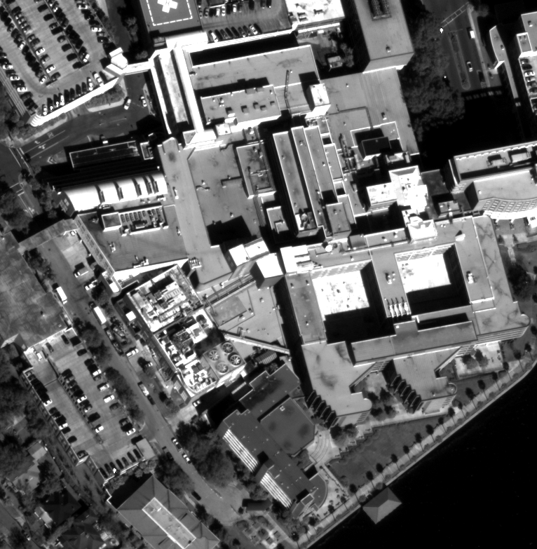
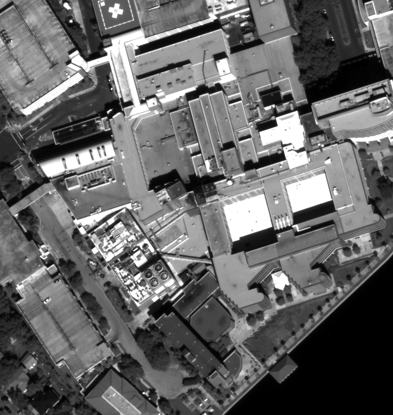
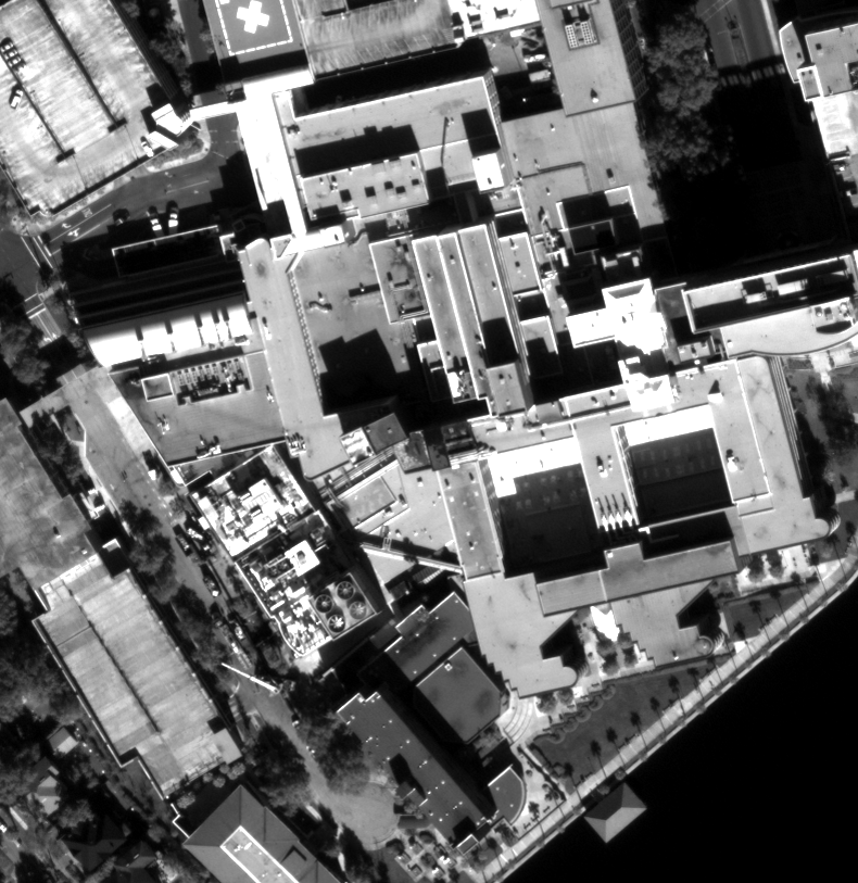
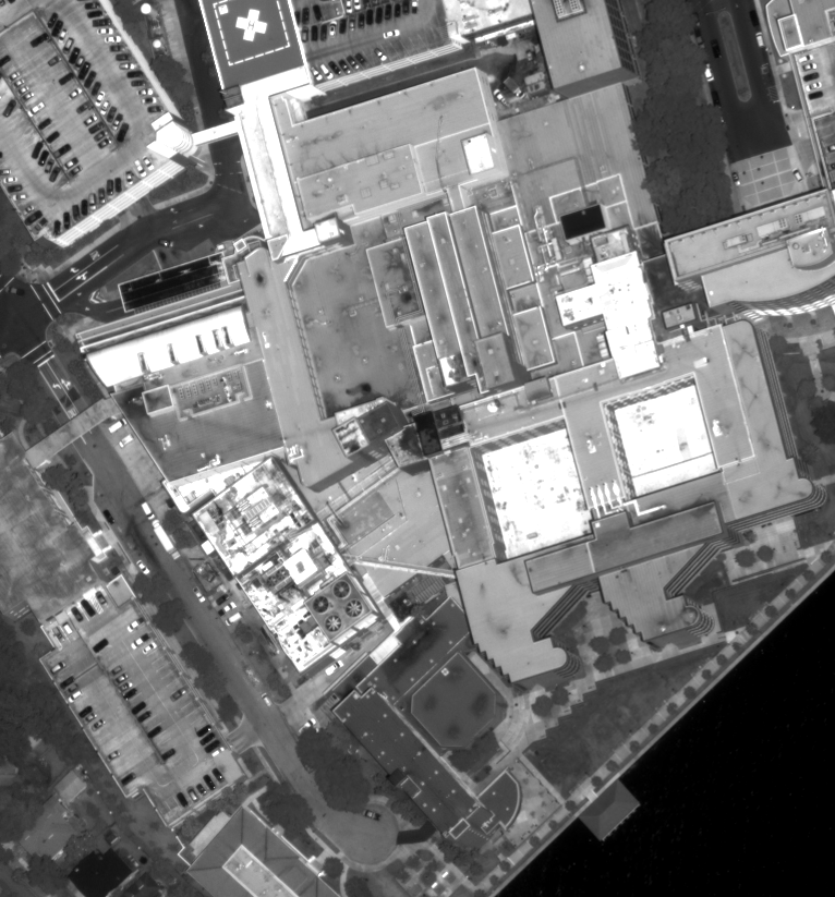
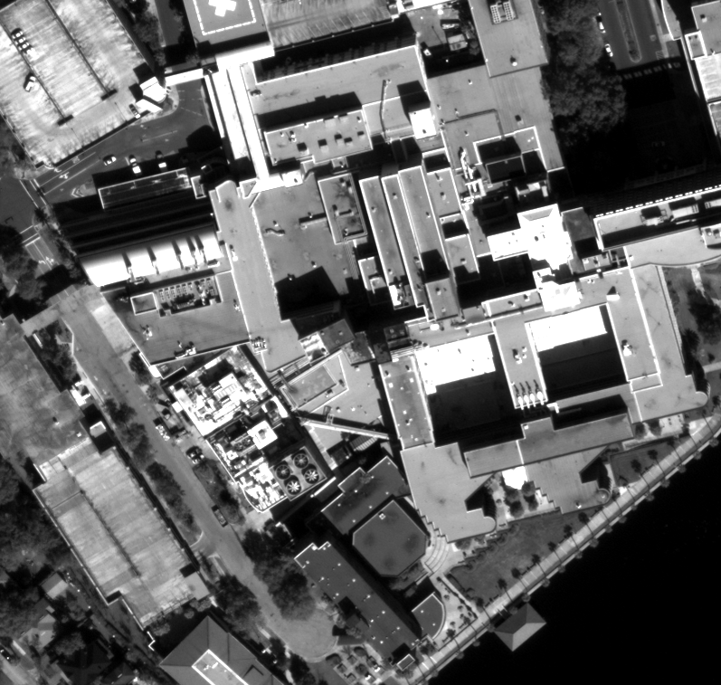
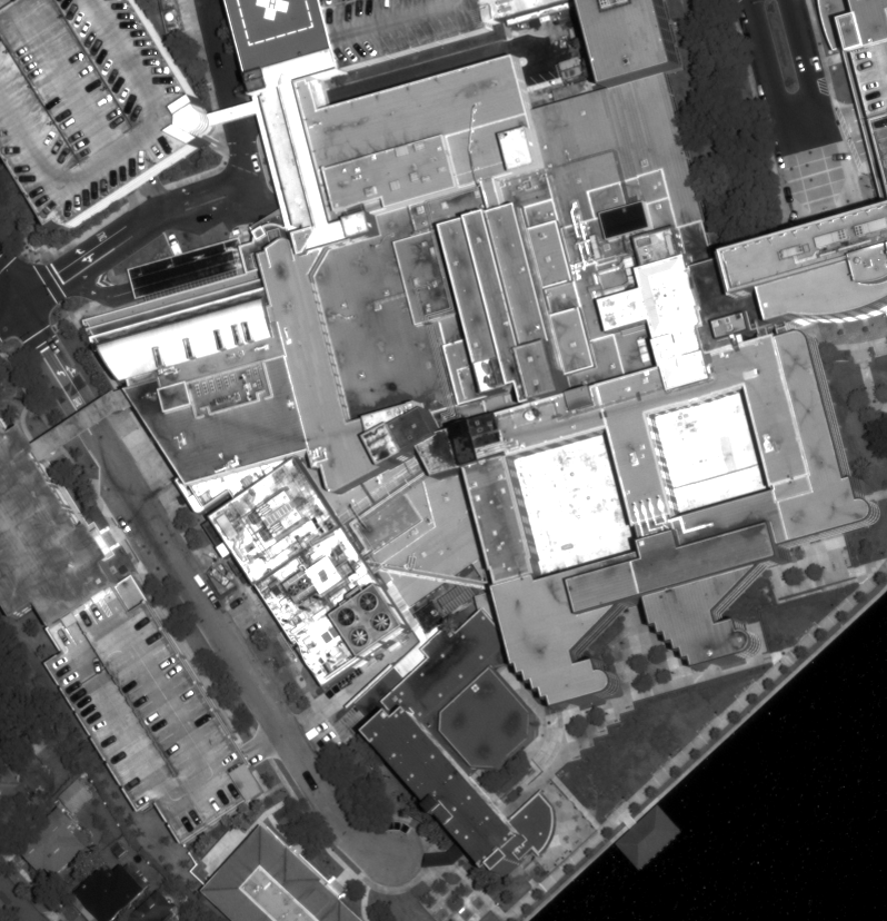
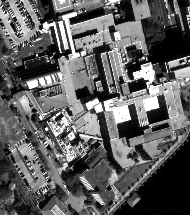
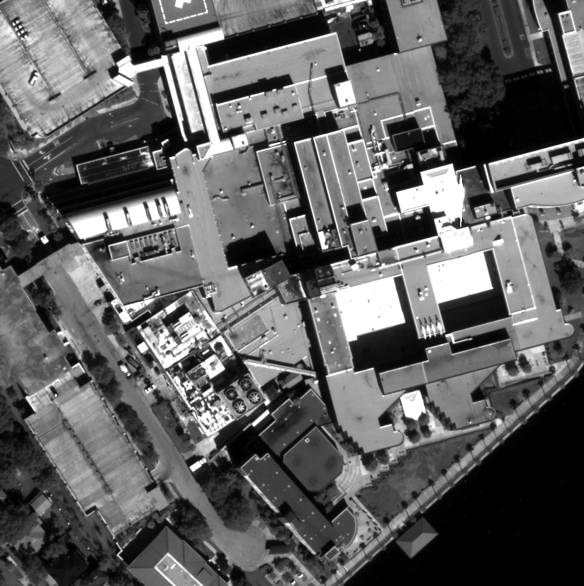
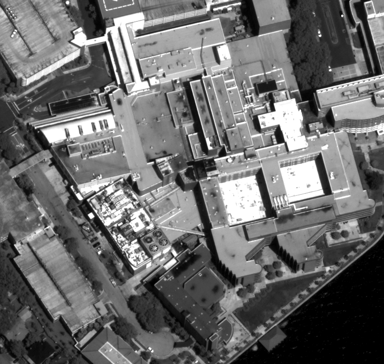
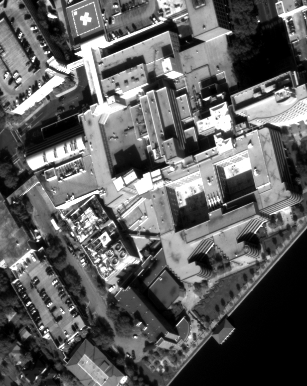
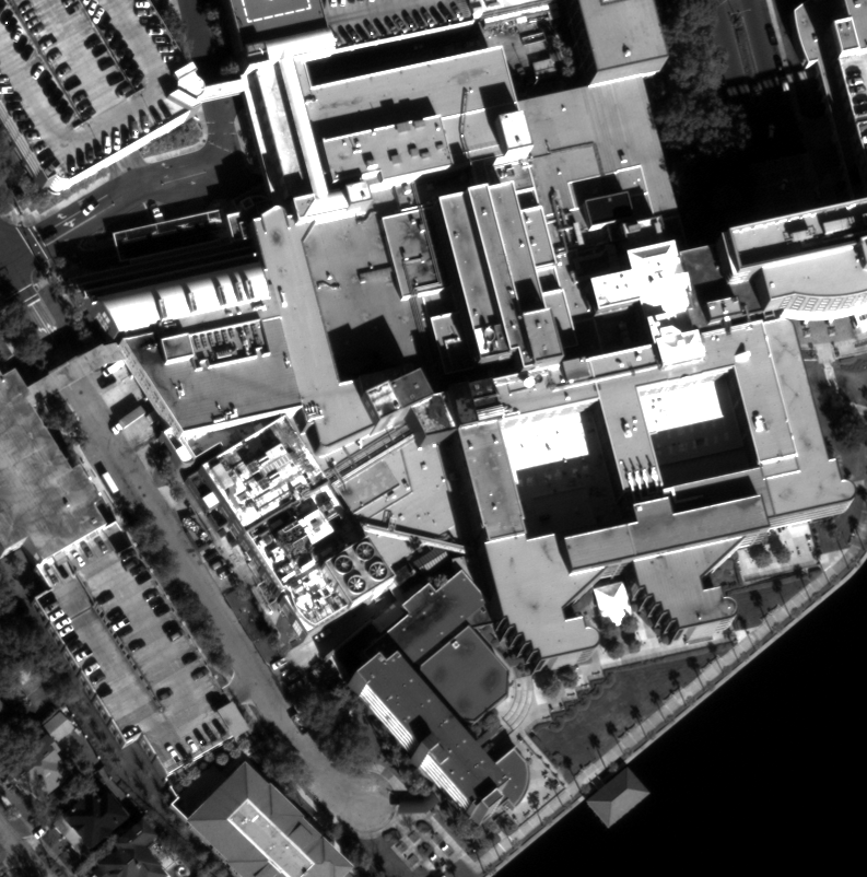
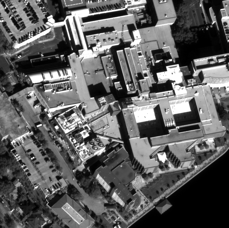
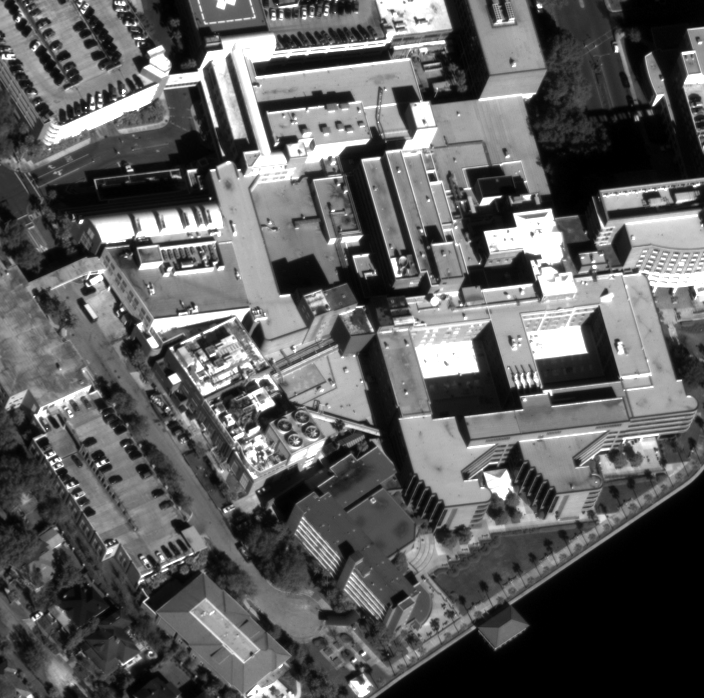
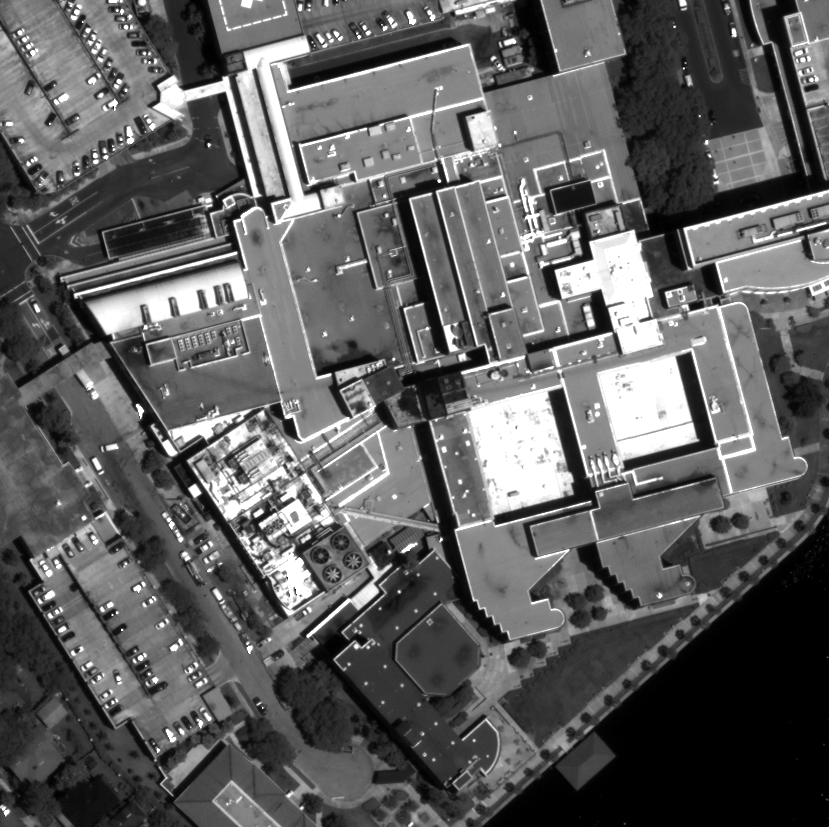
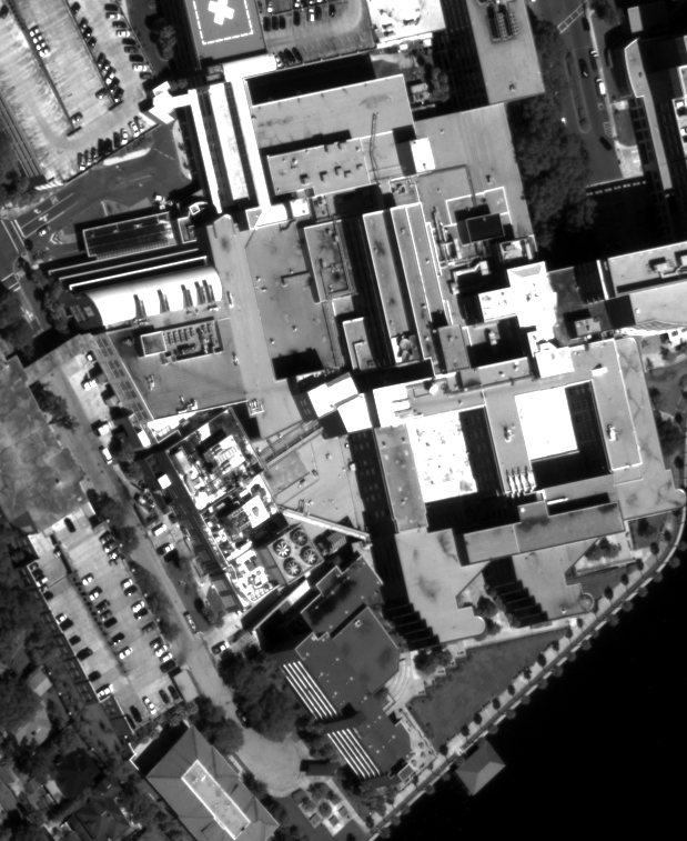
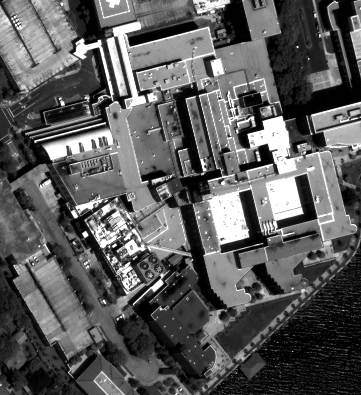
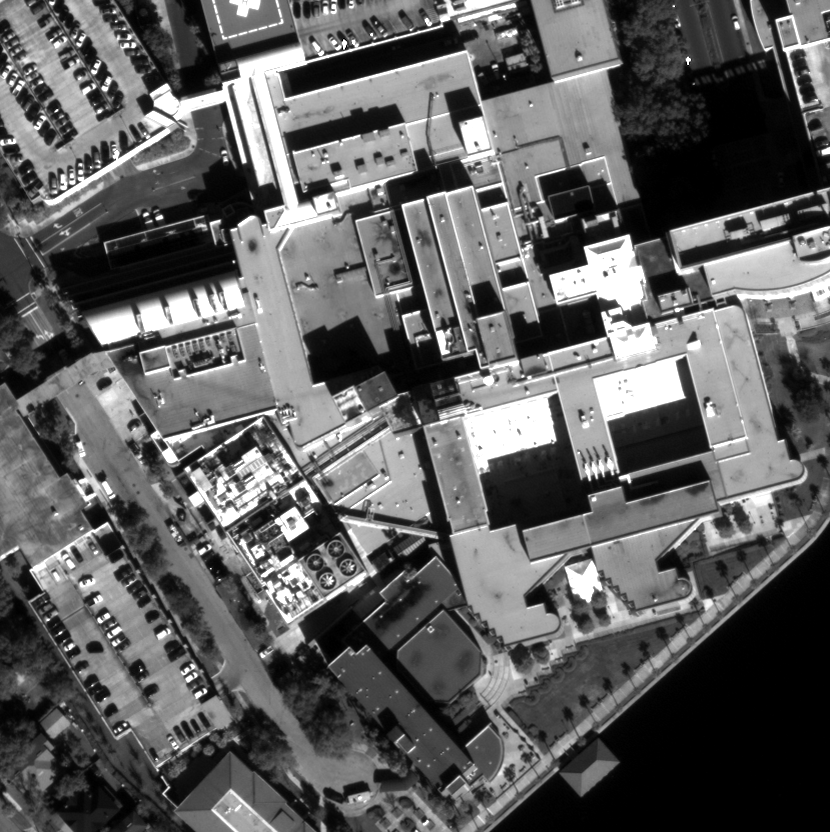
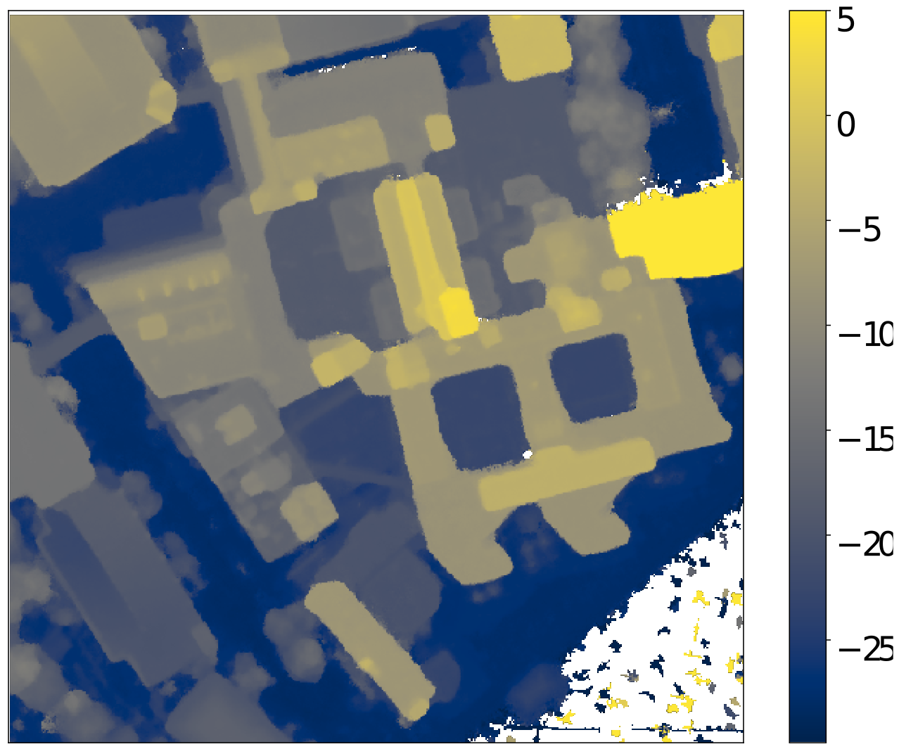
Data
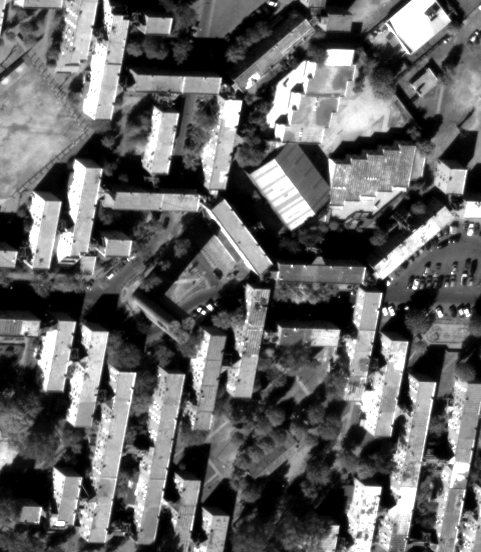
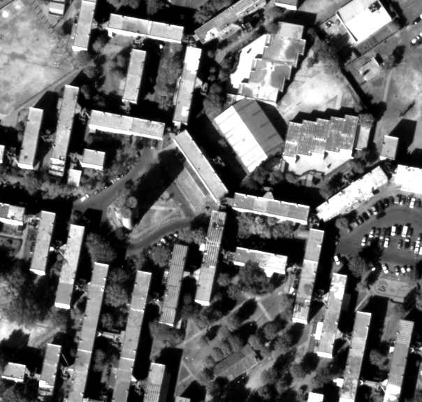
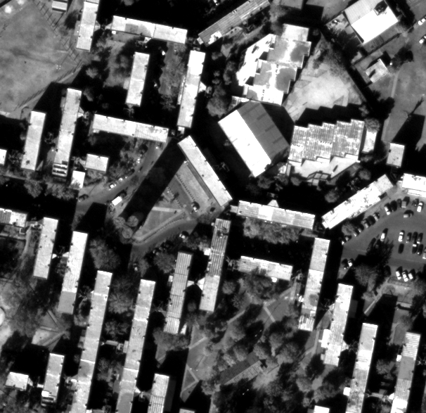
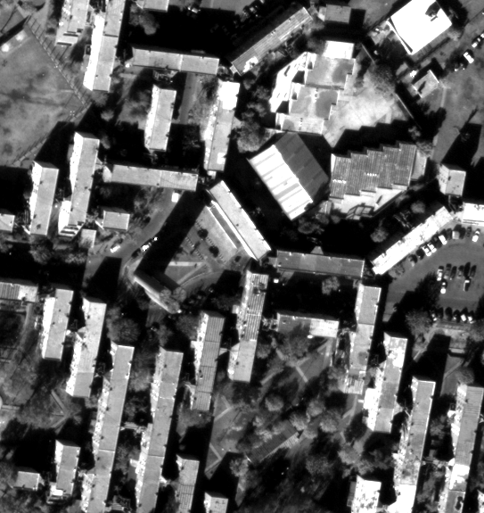
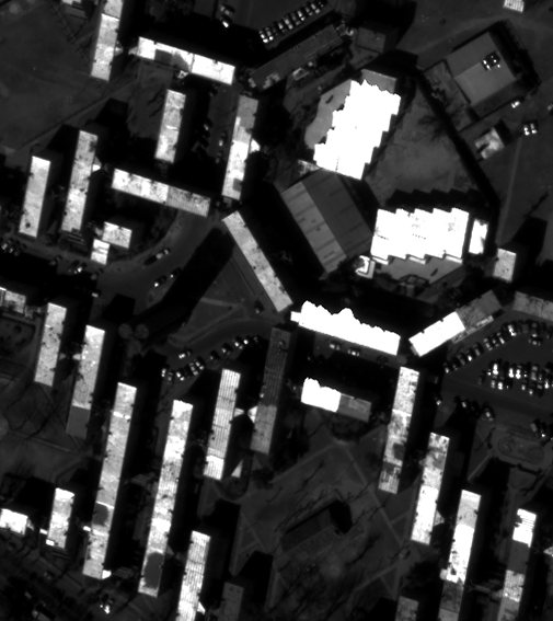
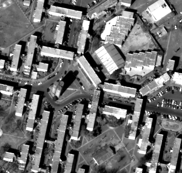
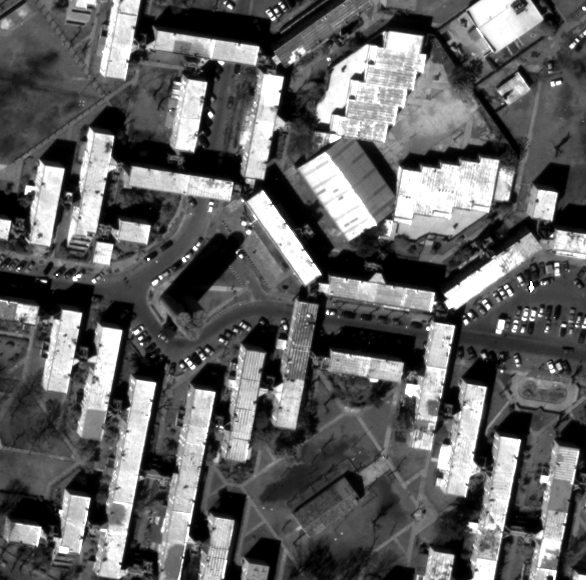
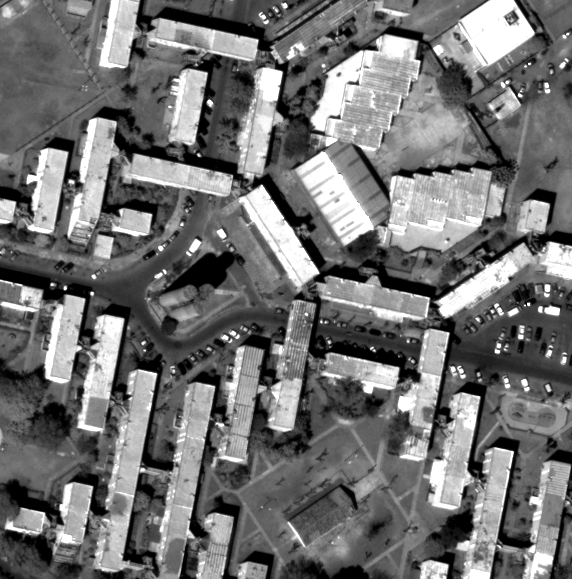
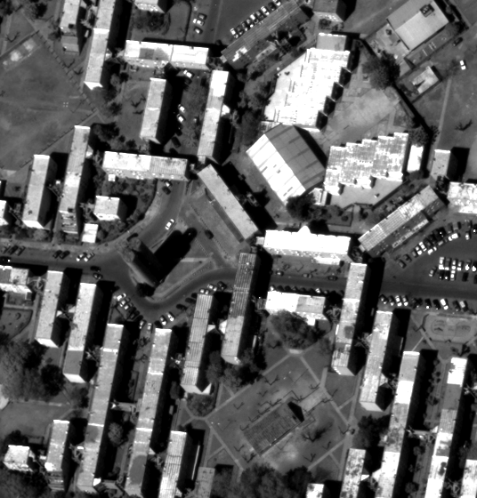
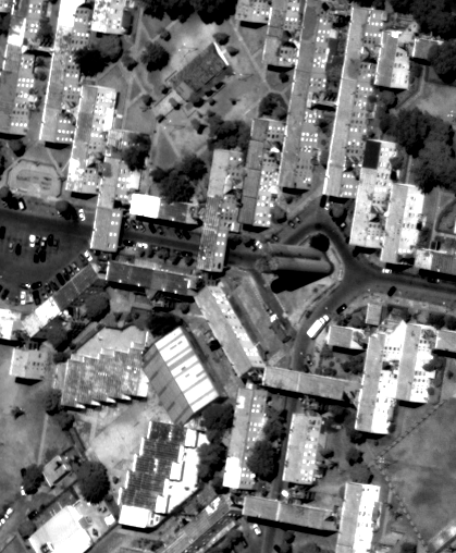
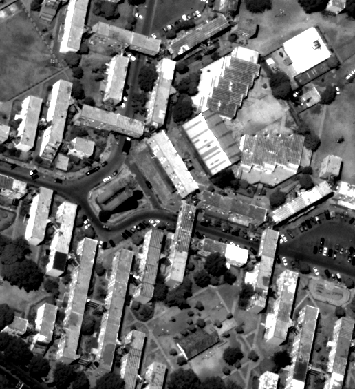
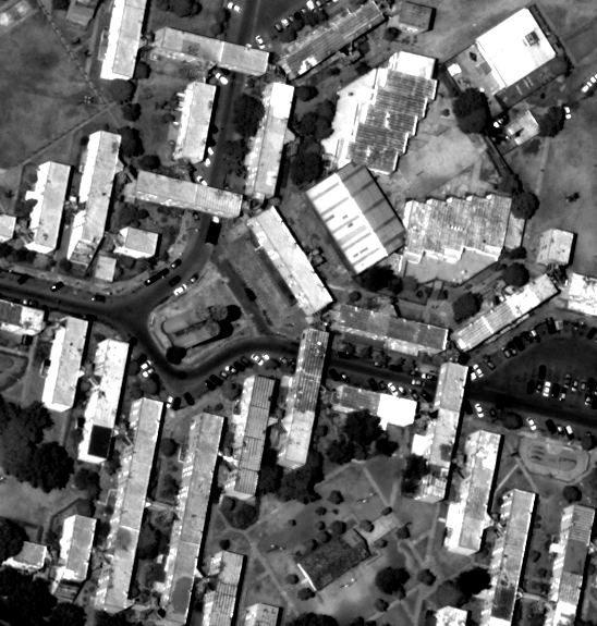
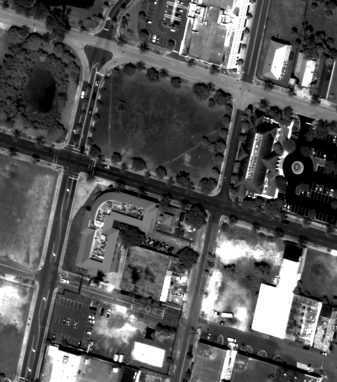
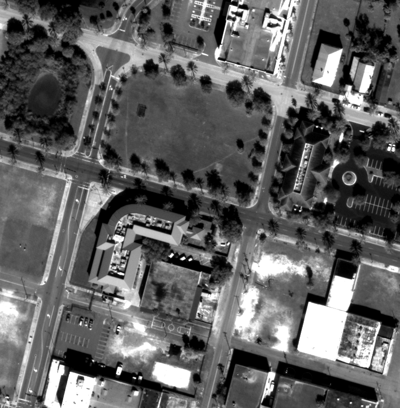
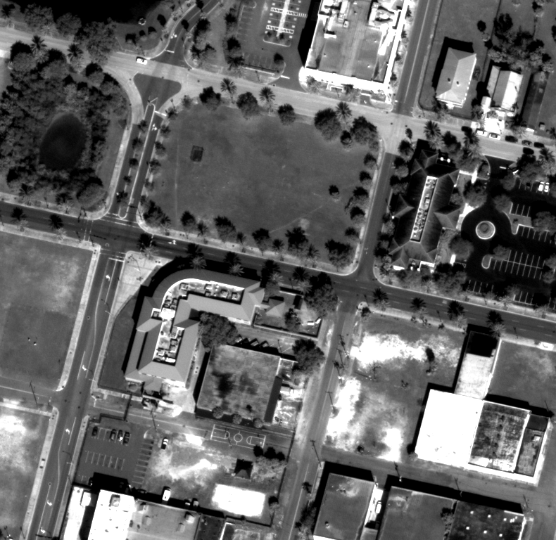
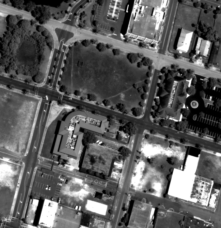
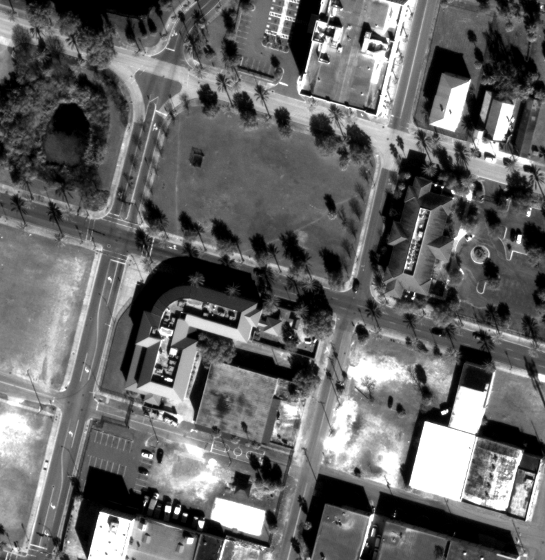
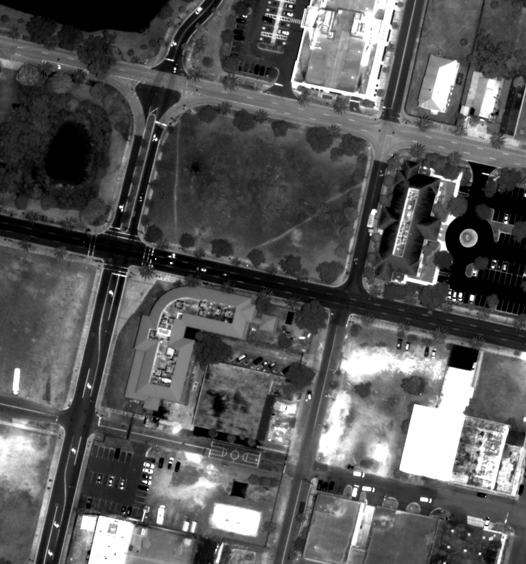
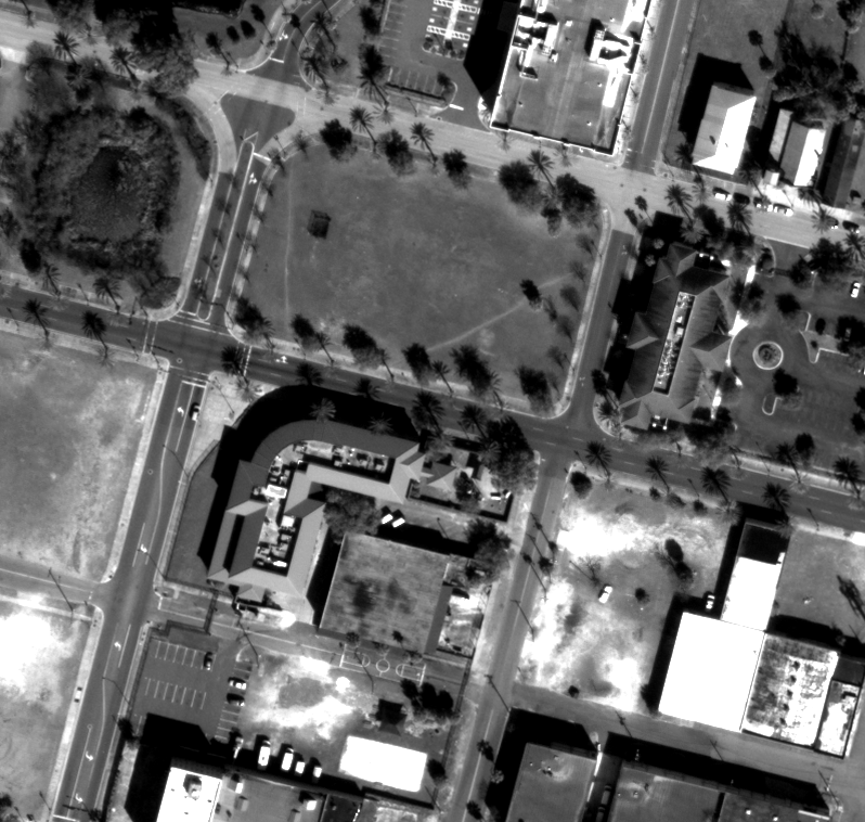
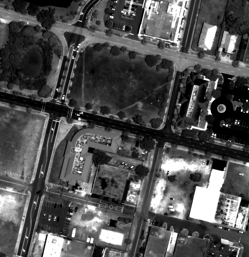
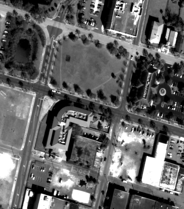
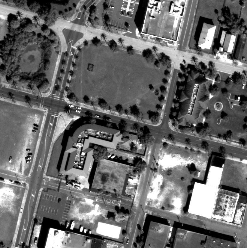
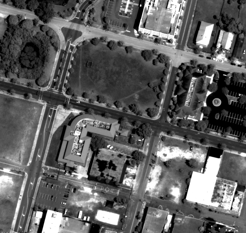
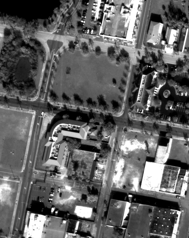
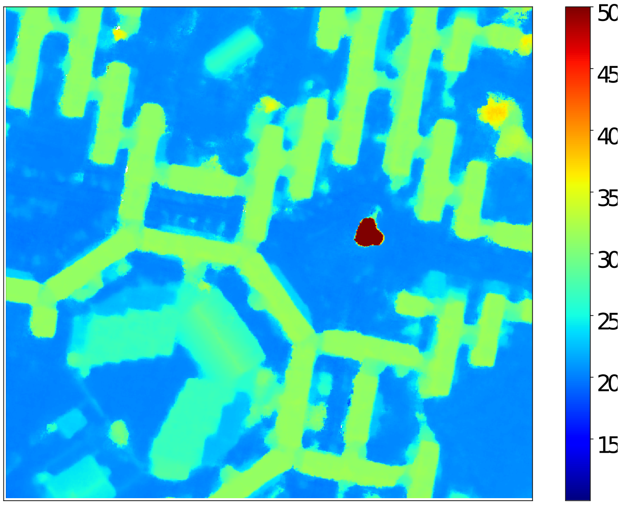
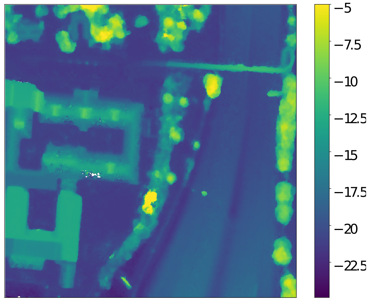
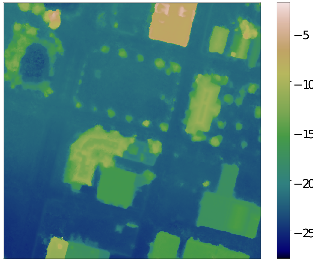
We employ the IARPA Multi-View Stereo 3D Mapping Challenge dataset which includes 47 DigitalGlobe WorldView-3 images, with 30 cm nadir resolution, collected between 2014 and 2016 over Buenos Aires; and the dataset comprised in the 2019 IEEE GRSS Data Fusion Contest with 26 DigitalGlobe WorldView-3 images collected between 2014 and 2016 over Jacksonville. The input crops for each area of interest (AOI) are shown below.